Hargreaves Building, Liverpool
Map
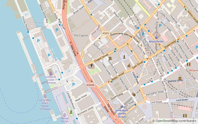
Map

Facts and practical information
Hargreaves Building is a former bank in Chapel Street, Liverpool, Merseyside, England. It originated as the headquarters of the Brown Shipley Bank, continued as offices when the bank moved to London, was converted for use by the Liverpool Racquet Club after the Toxteth riots, and later became a hotel and restaurant. ()
Built: 1859 (167 years ago)Coordinates: 53°24'26"N, 2°59'39"W
Address
Central LiverpoolLiverpool
ContactAdd
Social media
Add
Day trips
Hargreaves Building – popular in the area (distance from the attraction)
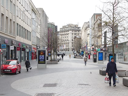
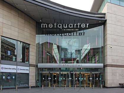
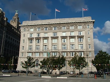
Nearby attractions include: Mathew Street, Lord Street, Pier Head, Metquarter.
Frequently Asked Questions (FAQ)
Which popular attractions are close to Hargreaves Building?
Nearby attractions include Liverpool Plinth, Liverpool (1 min walk), Church of Our Lady and Saint Nicholas, Liverpool (1 min walk), Unity Buildings, Liverpool (2 min walk), Liverpool Maritime Mercantile City, Liverpool (2 min walk).
How to get to Hargreaves Building by public transport?
The nearest stations to Hargreaves Building:
Train
Bus
Tram
Train
- Liverpool James Street (5 min walk)
- Moorfields (6 min walk)
Bus
- James St/stop Jb • Lines: 18 (6 min walk)
- Dale St/stop Dd • Lines: 18 (7 min walk)
Tram
- Woodside Ferry • Lines: Wirral Tramway (27 min walk)
- Shore Road • Lines: Wirral Tramway (29 min walk)


