Harrow Weald, London
Map

Map

Facts and practical information
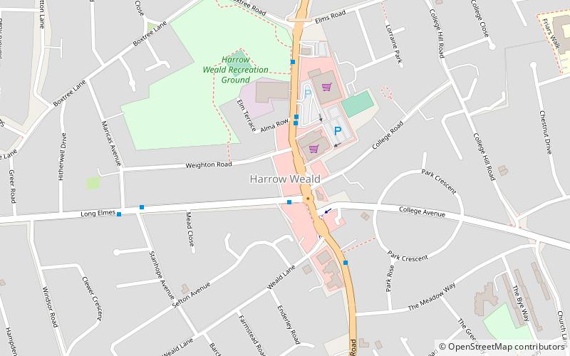
Harrow Weald is a suburban district in Greater London, England. Located about 2 miles north of Harrow, Harrow Weald is formed from a leafy 1930s suburban development along with ancient woodland of Harrow Weald Common. It forms part of the London Borough of Harrow. ()
Coordinates: 51°36'17"N, 0°20'26"W
Day trips
Harrow Weald – popular in the area (distance from the attraction)
Nearby attractions include: Harrow Museum, Bentley Priory Nature Reserve, St John the Evangelist, Harrow Arts Centre.
Frequently Asked Questions (FAQ)
Which popular attractions are close to Harrow Weald?
Nearby attractions include Wealdstone, Watford (18 min walk), Harrow Museum, London (24 min walk).
How to get to Harrow Weald by public transport?
The nearest stations to Harrow Weald:
Bus
Train
Metro
Bus
- Long Elmes • Lines: 140, N140, N18 (1 min walk)
- Long Elmes / Aspri Medical Centre • Lines: H12, H19 (1 min walk)
Train
- Headstone Lane (19 min walk)
Metro
- Harrow & Wealdstone • Lines: Bakerloo (24 min walk)

 Tube
Tube


