Stanmore, London
Map

Map

Facts and practical information
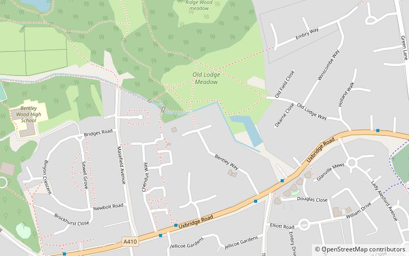
Stanmore is part of the London Borough of Harrow in London. It is centred 11 miles northwest of Charing Cross, lies on the outskirts of the London urban area and includes Stanmore Hill, one of the highest points of London, at 152 metres high. The district, which developed from the ancient Middlesex parishes of Great and Little Stanmore, lies immediately west of Roman Watling Street and forms the eastern part of the modern London Borough of Harrow. ()
Address
Harrow (Stanmore Park)London
ContactAdd
Social media
Add
Day trips
Stanmore – popular in the area (distance from the attraction)
Nearby attractions include: Bentley Priory Nature Reserve, St John the Evangelist, Bentley Priory, Seven Balls.
Frequently Asked Questions (FAQ)
Which popular attractions are close to Stanmore?
Nearby attractions include Bentley Priory Nature Reserve, London (11 min walk), St John the Evangelist, London (11 min walk), Bentley Priory, London (20 min walk).
How to get to Stanmore by public transport?
The nearest stations to Stanmore:
Bus
Metro
Bus
- Bentley Way • Lines: 340, H12 (5 min walk)
- Chenduit Way • Lines: 340, H12 (5 min walk)
Metro
- Stanmore • Lines: Jubilee (25 min walk)

 Tube
Tube


