Trek Zone

Moors for the Future Community Science Project, Edale

#4 among attractions in Edale

Sightseeing
Moors for the Future Community Science Project

Facts and practical information

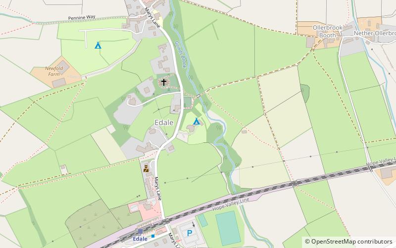
Moors for the Future Community Science Project (address: The Moorland Centre) is a place located in Edale (England kingdom) and belongs to the category of sightseeing.

It is situated at an altitude of 814 feet, and its geographical coordinates are 53°22'3"N latitude and 1°48'53"W longitude.

Among other places and attractions worth visiting in the area are: The Church of the Holy and Undivided Trinity (church, 2 min walk), Pennine Way (hiking, 6 min walk), Hollins Cross, Peak District (nature, 26 min walk).

Coordinates: 53°22'3"N, 1°48'53"W
Address

The Moorland CentreEdale United Kingdom

Contact
Social media
Add

Edale plan & book

Unleash the traveler in you — discover the cheapest flight deals, find the perfect hotel or hostel nearby, and search for the best car rental prices. Travel at your own pace to discover new places and enjoy your journey.

Day trips

Moors for the Future Community Science Project – popular in the area (distance from the attraction)

Nearby attractions include: Pennine Way, Hollins Cross, The Church of the Holy and Undivided Trinity, Grindslow Knoll.

  • pennine way edale~1050 ftS
  • hollins cross peak district1 miSE
  • the church of the holy and undivided trinity edale~390 ftNW
  • grindslow knoll peak district1.2 miNW
  • great ridge peak district1 miSE

Where to next? Visit england England region page or discover the top tourist attractions in United Kingdom.