Burry Holms

Gallery (1)
Map
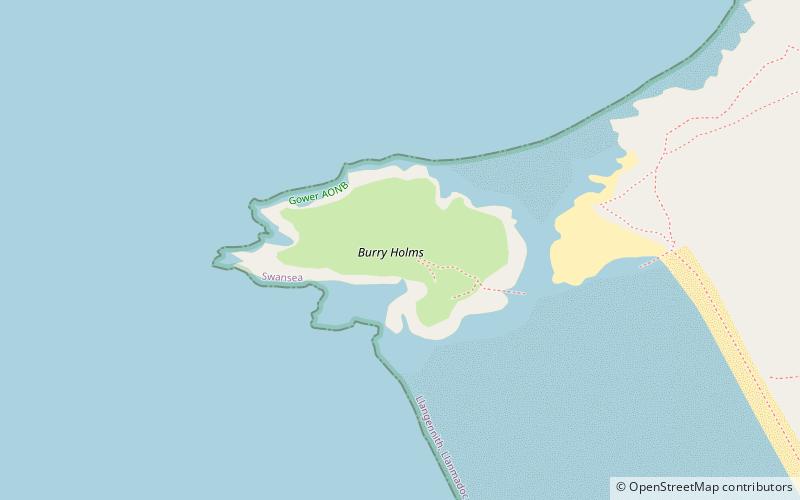
Map
Facts and practical information
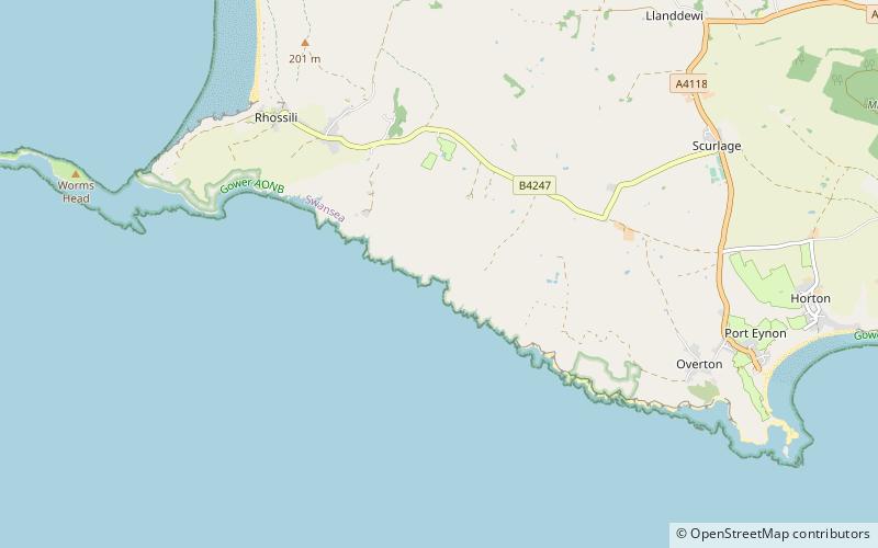
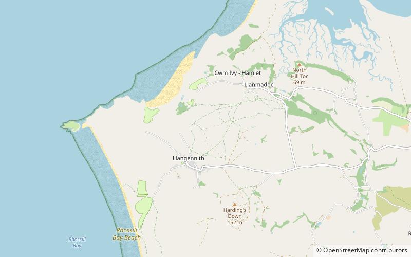
Burry Holms, a tidal island with the height of is at the northern end of Rhossili Bay in the Gower Peninsula, Wales. During spring and summer, Burry Holms is covered by flowers such as thrift and sea campion. ()
Location
Wales
ContactAdd
Social media
Add
Day trips