Cranbrook Strict Baptist Chapel, Brentwood
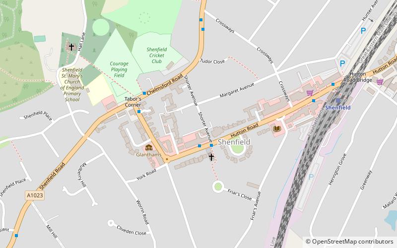
Map

Map

Facts and practical information
The Cranbrook Strict Baptist Chapel, is a Strict Baptist place of worship in the town of Cranbrook in the English county of Kent. The chapel was built in 1787. ()
Completed: 1787 (239 years ago)Coordinates: 51°37'48"N, 0°19'26"E
Address
Brentwood
ContactAdd
Social media
Add
Day trips
Cranbrook Strict Baptist Chapel – popular in the area (distance from the attraction)
Nearby attractions include: Ingatestone Hall, The Cater Museum, Kelvedon Hatch Secret Nuclear Bunker, Brentwood Cathedral.
Frequently Asked Questions (FAQ)
How to get to Cranbrook Strict Baptist Chapel by public transport?
The nearest stations to Cranbrook Strict Baptist Chapel:
Bus
Train
Bus
- Shorter Avenue • Lines: 251, 80A, 80C, 81 (2 min walk)
- Hutton Road • Lines: 251, 350, 351, 80A, 80C, 81 (4 min walk)
Train
- Shenfield (7 min walk)
- Brentwood (39 min walk)


