Cringleford, Norwich
Map

Map

Facts and practical information
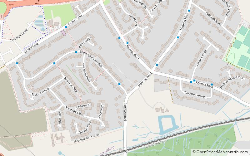
Cringleford is a parish and village in Norfolk, England on the banks of the River Yare on the outskirts of Norwich. The village is in the South Norfolk local government district and is part of the Norfolk South Parliamentary constituency. Cringleford forms part the wider Norwich Built-up area. ()
Address
CringlefordNorwich
ContactAdd
Social media
Add
Day trips
Cringleford – popular in the area (distance from the attraction)
Nearby attractions include: Chantry Place, St John the Baptist Cathedral, Sainsbury Centre for Visual Arts, Theatre Royal.
Frequently Asked Questions (FAQ)
How to get to Cringleford by public transport?
The nearest stations to Cringleford:
Bus
Bus
- Brettingham Ave / Intwood Road • Lines: 50A (1 min walk)
- Intwood Road / Keswick Road • Lines: 50A (3 min walk)


