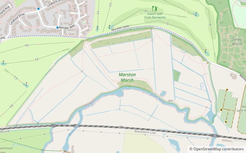
Marston Marsh, Norwich
Map
Facts and practical information
Marston Marsh is a Local Nature Reserve in southwest Norwich, Norfolk, England. ()
Elevation: 16 ft a.s.l.Coordinates: 52°36'8"N, 1°16'6"E
Address
EatonNorwich
ContactAdd
Social media
Add
Getting there by public transportation
Public transportation stops near this location
- Bus
 Bus
Bus
- Calculate routeAbinger Way / Denmead Close 7 min walk
- Calculate routeLindford Drive / Post Box 9 min walk
- Calculate routeHoliday Inn, opp 11 min walk
Day trips


Frequently Asked Questions (FAQ)
Which popular attractions are close to Marston Marsh?
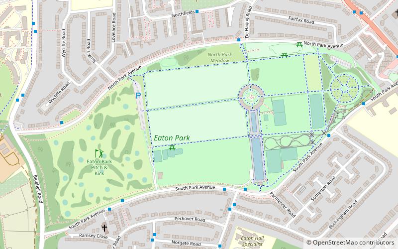
Nearby attractions include Marston Marshes, Norwich (1 min walk), Brundall Church Fen, Norwich (8 min walk), Danby Wood, Norwich (9 min walk), Eaton Common, Norwich (13 min walk).
How to get to Marston Marsh by public transport?
The nearest stations to Marston Marsh:
Bus
Bus
- Abinger Way / Denmead Close • Lines: 121, 50A, 51, 52 (7 min walk)
- Lindford Drive / Post Box • Lines: 121, 50A, 51, 52 (9 min walk)