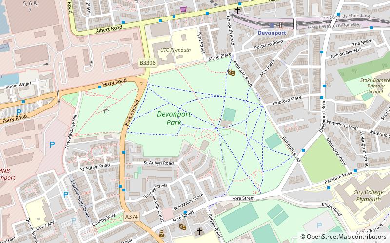
Devonport Park, Bere Ferrers
Map

Map

Facts and practical information
Devonport Park is a public park located in Devonport, Devon. The historic park dates back to the 1850s and is situated on former military land. The park is home to many historic monuments including a war memorial to the 2,000 Devonport citizens who died in the First World War. ()
Elevation: 144 ft a.s.l.Coordinates: 50°22'33"N, 4°10'26"W
Day trips
Devonport Park – popular in the area (distance from the attraction)
Nearby attractions include: Plymouth Pavilions, Royal William Yard, Mount Wise, The Plymouth Athenaeum.
Frequently Asked Questions (FAQ)
Which popular attractions are close to Devonport Park?
Nearby attractions include Devonport Naval Heritage Centre, Bere Ferrers (9 min walk), City College Plymouth, Bere Ferrers (10 min walk), Devonport Column, Bere Ferrers (13 min walk), Devonport Guildhall, Bere Ferrers (13 min walk).
How to get to Devonport Park by public transport?
The nearest stations to Devonport Park:
Train
Bus
Train
- Devonport (7 min walk)
- Dockyard (12 min walk)
Bus
- North Prospect Library • Lines: X11 (24 min walk)
- Queens House • Lines: X11 (25 min walk)


