Oxgangs, Edinburgh
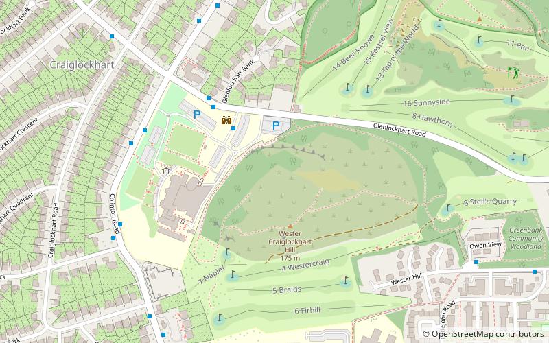
Map
Gallery
Facts and practical information
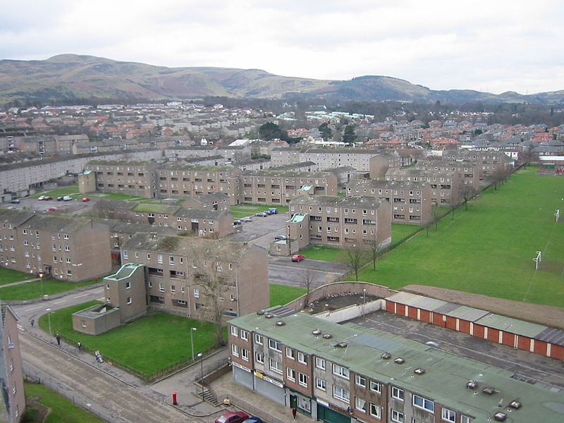
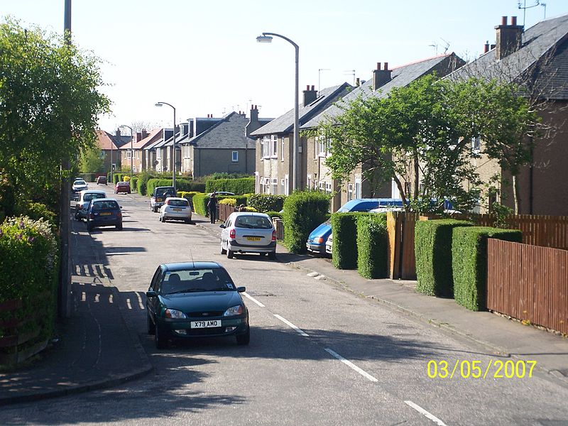
Oxgangs is a suburb in the south-west of Edinburgh, Scotland. Surrounding districts include Caiystane, Dreghorn, Redford, Fairmilehead, Colinton and Swanston and Colinton Mains. The post code area for Oxgangs is EH13. ()
Coordinates: 55°54'27"N, 3°13'37"W
Address
OxgangsEdinburgh
ContactAdd
Social media
Add
Day trips
Oxgangs – popular in the area (distance from the attraction)
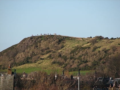
Nearby attractions include: Mortonhall Golf Club, Hermitage of Braid, Slateford Aqueduct, Craiglockhart Hill.
Frequently Asked Questions (FAQ)
Which popular attractions are close to Oxgangs?
Nearby attractions include Greenbank, Edinburgh (17 min walk), Craiglockhart Castle, Edinburgh (20 min walk), Craiglockhart Hill, Edinburgh (20 min walk), Dovecot Studios, Edinburgh (22 min walk).
How to get to Oxgangs by public transport?
The nearest stations to Oxgangs:
Bus
Bus
- Oxgangs Avenue • Lines: 27, 4, 400 (2 min walk)
- Cockit Hat • Lines: 27, 4, 400 (8 min walk)


