Llanymynech Heritage Area
Map

Gallery

Facts and practical information
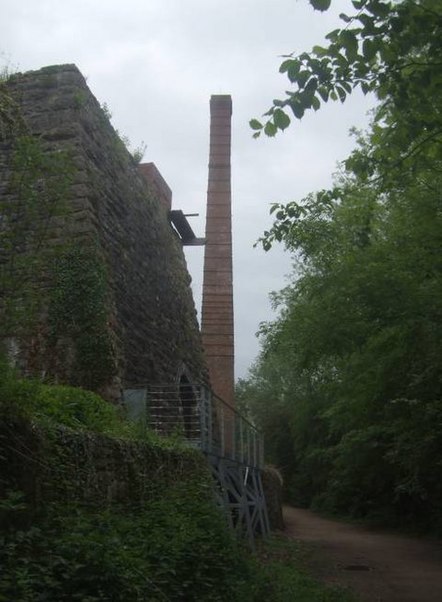
Llanymynech Heritage Area is an historic former lime kiln, quarry and industrial site near the village of Llanymynech, Shropshire in the Welsh Marches. The site is adjacent to the A483 road and close to the Montgomery Canal. It is about 6 miles south of Oswestry on the English side of the border, and about 9 miles north of the Powys town of Welshpool. ()
Coordinates: 52°46'59"N, 3°5'13"W
Location
Wales
ContactAdd
Social media
Add
Day trips
Llanymynech Heritage Area – popular in the area (distance from the attraction)
Nearby attractions include: Oswestry Guildhall, St Michael's, St Silin's Church, Montgomery Canal.


