Kimmeridge Ledges

Gallery (2)
Map
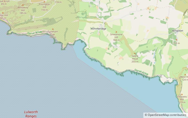
Map
Gallery
Facts and practical information
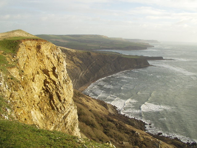
Kimmeridge Ledges is a set of Kimmeridge clay ledges stretching out in to the sea on the Isle of Purbeck, a peninsula on the English Channel coast in Dorset, England.They are located to the southeast of Kimmeridge Bay and south of the villages of Kimmeridge, on the Smedmore Estate. ()
Coordinates: 50°36'12"N, 2°7'26"W
Location
England
ContactAdd
Social media
Add
Day trips


