Craig Gwrtheyrn
Map

Gallery

Facts and practical information
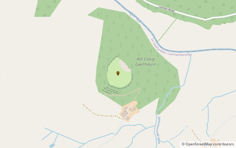
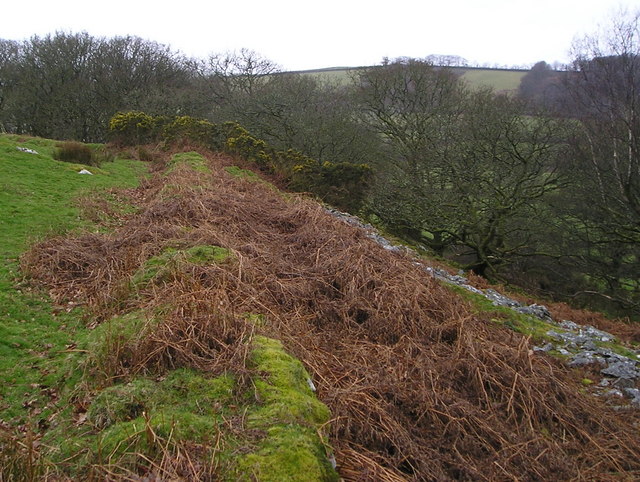
Craig Gwrtheyrn, or Caer Gwrtheyrn, is an Iron Age hillfort on the south side of the River Teifi, about 1.2 miles west of the village of Llanfihangel-ar-Arth, in Carmarthenshire, Wales. ()
Coordinates: 52°2'19"N, 4°17'9"W
Location
Wales
ContactAdd
Social media
Add
Day trips
Craig Gwrtheyrn – popular in the area (distance from the attraction)
Nearby attractions include: West Wales Museum of Childhood, National Wool Museum, Skanda Vale, Rock Mill Llandysul.


