St Gwenog's Church

Gallery (1)
Map
Map
Facts and practical information
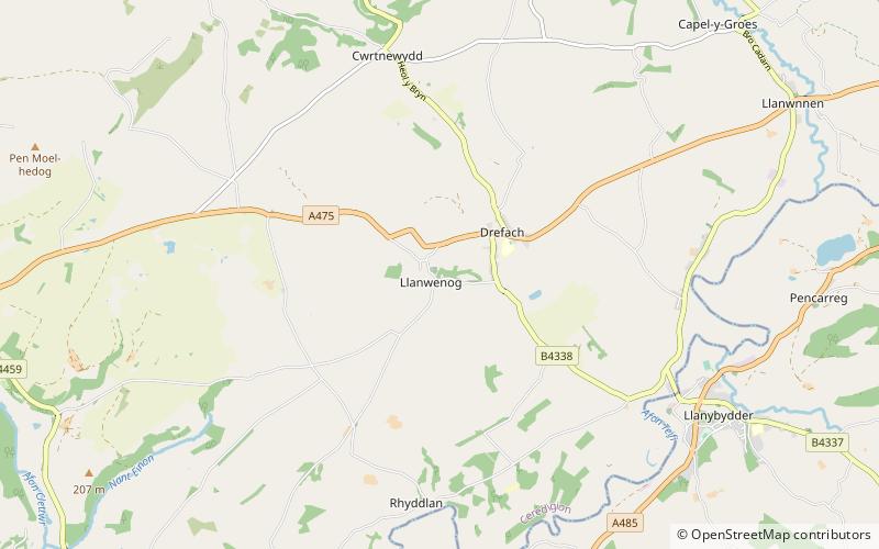
St Gwenog's Church is a Church in Wales church near Llanybydder, Ceredigion, Wales. It is a medieval building dating back to the late fourteenth century and is situated in the hamlet of Llanwenog on a minor road off the A475 near Drefach, Ceredigion. It is a Grade I-listed building. ()
Coordinates: 52°5'14"N, 4°11'55"W
Location
Wales
ContactAdd
Social media
Add
Day trips