St. Augustine's Church, London
Map

Map

Facts and practical information
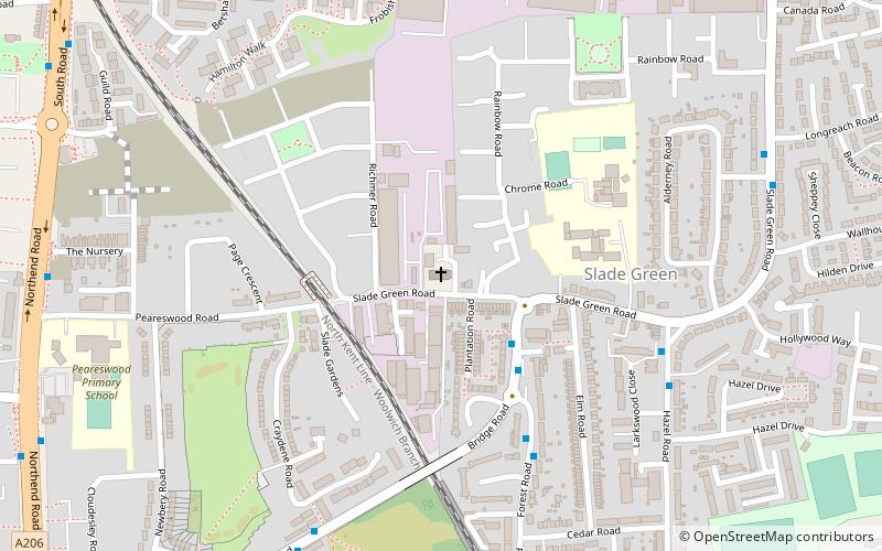
St Augustine's Church is a Victorian Church of England parish church in Slade Green, in the Diocese of Rochester. ()
Coordinates: 51°28'19"N, 0°11'20"E
Day trips
St. Augustine's Church – popular in the area (distance from the attraction)
Nearby attractions include: London Outer Orbital Path, Erith Dockyard, Our Lady of the Angels Church, Erith Playhouse.
Frequently Asked Questions (FAQ)
Which popular attractions are close to St. Augustine's Church?
Nearby attractions include Slade Green, Dartford (13 min walk), Erith Dockyard, Purfleet (19 min walk), Northumberland Heath, Dartford (23 min walk).
How to get to St. Augustine's Church by public transport?
The nearest stations to St. Augustine's Church:
Bus
Train
Bus
- Bridge Road / Slade Green Road • Lines: 89, N89 (3 min walk)
- Forest Road / Bridge Road • Lines: 99 (5 min walk)
Train
- Slade Green (8 min walk)
- Erith (23 min walk)

 Tube
Tube


