Erith Dockyard, Purfleet

Map
Facts and practical information
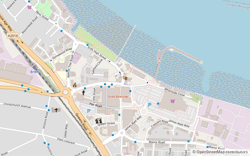
Erith Dockyard located at Erith, Kent, England was an early Tudor naval dockyard operated by the English Navy that opened in 1512 due to persistent flooding the dockyard closed in 1521. ()
Coordinates: 51°28'52"N, 0°10'53"E
Address
Bexley (Erith)Purfleet
ContactAdd
Social media
Add
Day trips
Erith Dockyard – popular in the area (distance from the attraction)
Nearby attractions include: London Outer Orbital Path, Our Lady of the Angels Church, The Diver, St. Augustine's Church.
Frequently Asked Questions (FAQ)
Which popular attractions are close to Erith Dockyard?
Nearby attractions include Erith Playhouse, London (17 min walk), St. Augustine's Church, London (19 min walk), Coldharbour, London (20 min walk), Northumberland Heath, Dartford (21 min walk).


