London Outer Orbital Path, London

Gallery (1)
Map
Map
Facts and practical information
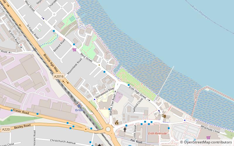
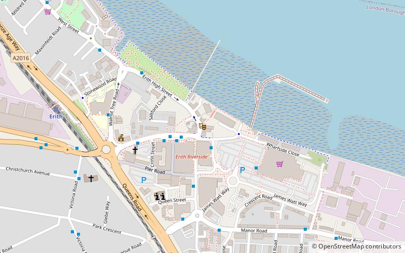
The London Outer Orbital Path — more usually the "London LOOP" — is a 150-mile signed walk along public footpaths, and through parks, woods and fields around the edge of Outer London, England, described as "the M25 for walkers". The walk begins at Erith on the south bank of the River Thames and passes clockwise through Crayford, Petts Wood, Coulsdon, Banstead, Ewell, Kingston upon Thames, Uxbridge, Elstree, Cockfosters, Chingford, Chigwell, Grange Hill and Upminster Bridge before ending at Purfleet, almost directly across the Thames from its starting point. Between these settlements the route passes through green buffers and some of the highest points in Greater London. ()
Season: All yearCoordinates: 51°28'59"N, 0°10'41"E
Address
Bexley (Erith)London
ContactAdd
Social media
Add
Getting there by public transportation
Public transportation stops near this location
- Bus
- Train
 Bus
Bus
- Calculate routeErith High Street 2 min walk
- Calculate routeErith Station / West Street 2 min walk
- Calculate routeWalnut Tree Road 3 min walk
- Calculate routeWinifred Road / The Ship 5 min walk
- Calculate routeErith 5 min walk
- Calculate routeSlade Green 31 min walk
- Calculate routeBelvedere 32 min walk
Maps Tube
Tube
TubeDay trips


Frequently Asked Questions (FAQ)
Which popular attractions are close to London Outer Orbital Path?
Nearby attractions include Erith Dockyard, Purfleet (6 min walk), Erith Playhouse, London (17 min walk), Coldharbour, London (19 min walk), Our Lady of the Angels Church, Dartford (20 min walk).
How to get to London Outer Orbital Path by public transport?
The nearest stations to London Outer Orbital Path:
Bus
Train
Bus
- Erith High Street • Lines: 229, 469, 602, 669 (2 min walk)
- Erith Station / West Street • Lines: 229, 469, 602, 669, 99 (2 min walk)
Train
- Erith (5 min walk)
- Slade Green (31 min walk)