Fort Burgoyne, Dover
Map

Map

Facts and practical information
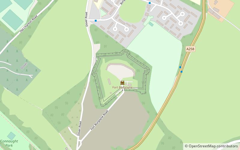
Fort Burgoyne, originally known as Castle Hill Fort, was built in the 1860s as one of the Palmerston forts around Dover in southeast England. It was built to a polygonal system with detached eastern and western redoubts, to guard the high ground northeast of the strategic port of Dover, just north of Dover Castle. The fort is named after the 19th century General John Fox Burgoyne, Inspector-General of Fortifications and son of the John Burgoyne who fought in the American Revolutionary War. ()
Coordinates: 51°8'11"N, 1°19'16"E
Address
Dover
ContactAdd
Social media
Add
Day trips
Fort Burgoyne – popular in the area (distance from the attraction)
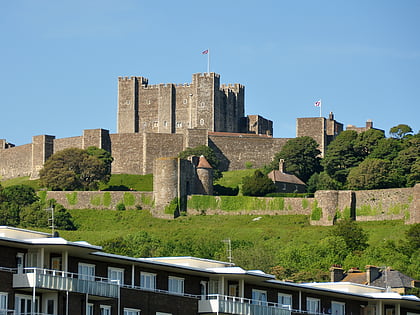
Nearby attractions include: Dover Castle, Dover Western Heights, St Mary in Castro, Knights Templar Church.
Frequently Asked Questions (FAQ)
Which popular attractions are close to Fort Burgoyne?
Nearby attractions include Dover Castle, Dover (14 min walk), Dubris, Dover (15 min walk), Roman Pharos, Dover (15 min walk), St Mary in Castro, Dover (15 min walk).
How to get to Fort Burgoyne by public transport?
The nearest stations to Fort Burgoyne:
Bus
Ferry
Train
Bus
- Eastern Docks • Lines: El450 (19 min walk)
Ferry
- Dover 6 • Lines: Dover - Calais, Dover/Douvres - Calais (25 min walk)
- Dover 8 • Lines: Dover - Calais, Dover/Douvres - Calais (26 min walk)
Train
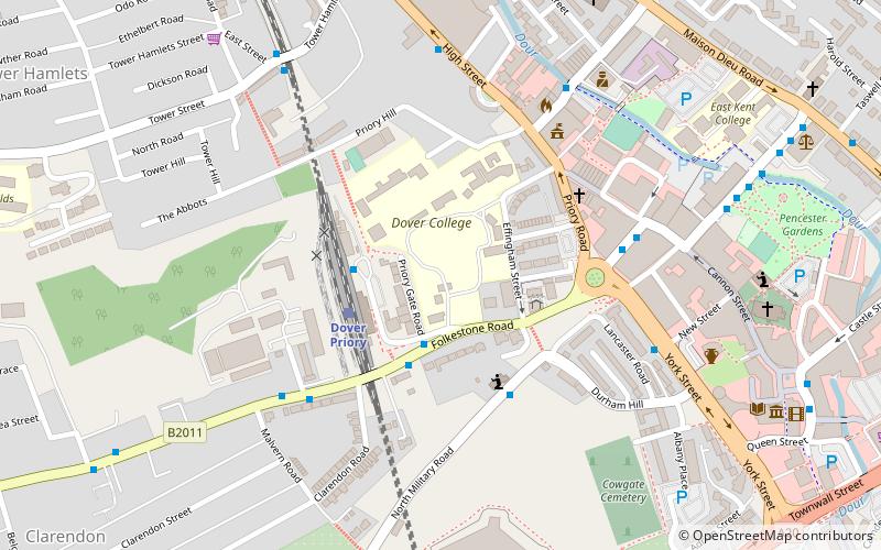
- Dover Priory (26 min walk)


