Foyle Bridge, Derry
Map

Gallery
Facts and practical information
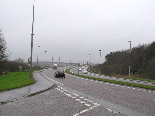
The Foyle Bridge is a bridge in Derry, Northern Ireland. The central cantilever span of the bridge is the second longest on the island of Ireland, at 234 metres, and the whole suspended bridge structure including the approach spans is 866 metres long. ()
Coordinates: 55°1'6"N, 7°17'31"W
Day trips
Foyle Bridge – popular in the area (distance from the attraction)
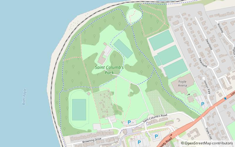
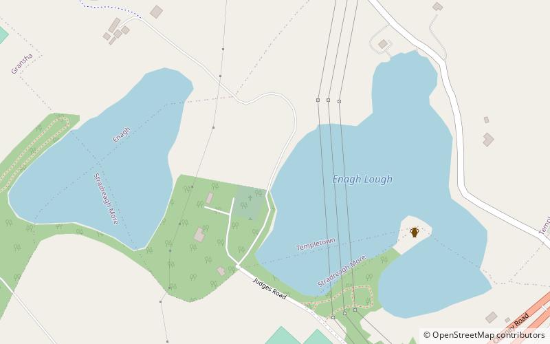
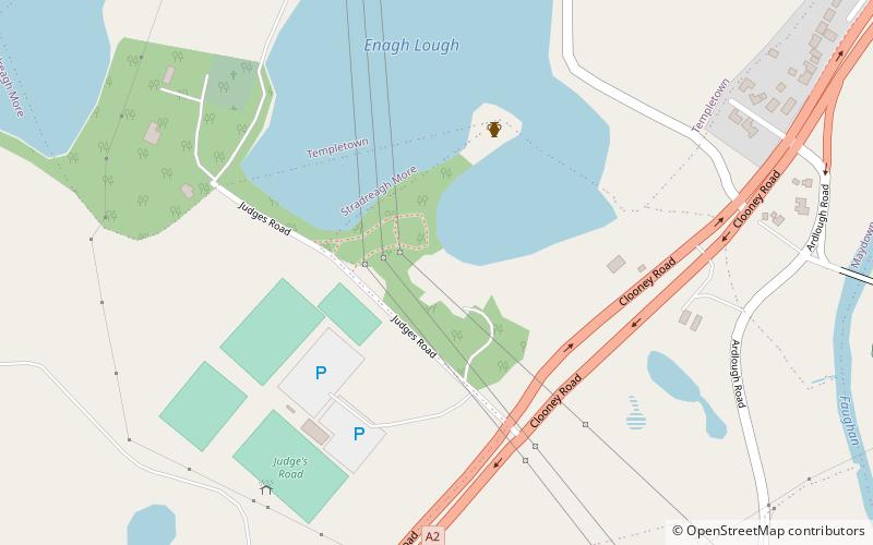
Nearby attractions include: St. Columb's Park, Bay Road Park Local Nature Reserve, Magee College, Enagh Lough.
Frequently Asked Questions (FAQ)
How to get to Foyle Bridge by public transport?
The nearest stations to Foyle Bridge:
Bus
Bus
- Airporter HQ (23 min walk)

