Beechgrove, Derry
Map
Facts and practical information
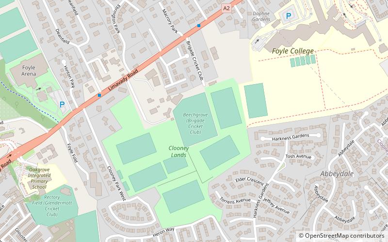
Beechgrove is a cricket ground in Derry, Northern Ireland. ()
Coordinates: 55°0'2"N, 7°17'55"W
Address
Derry
ContactAdd
Social media
Add
Getting there by public transportation
Public transportation stops near this location
- Bus
- Train
 Bus
Bus
- Calculate routeLondonderry 20 min walk
- Calculate routeFoyle Bus Station 21 min walk
- Calculate routeAirporter HQ 28 min walk
Day trips


Frequently Asked Questions (FAQ)
Which popular attractions are close to Beechgrove?
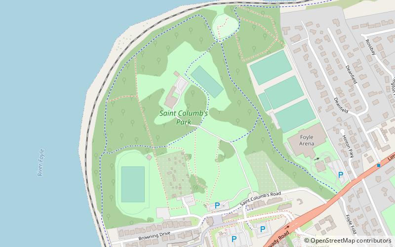
Nearby attractions include Turner Prize 2013, Derry (12 min walk), Workhouse Museum, Derry (13 min walk), St. Columb's Park, Derry (13 min walk), Peace Bridge, Derry (18 min walk).
How to get to Beechgrove by public transport?
The nearest stations to Beechgrove:
Train
Bus
Train
- Londonderry (20 min walk)
Bus
- Foyle Bus Station (21 min walk)
- Airporter HQ (28 min walk)