BMS Bembridge Motor Services, Bembridge
Map

Map

Facts and practical information
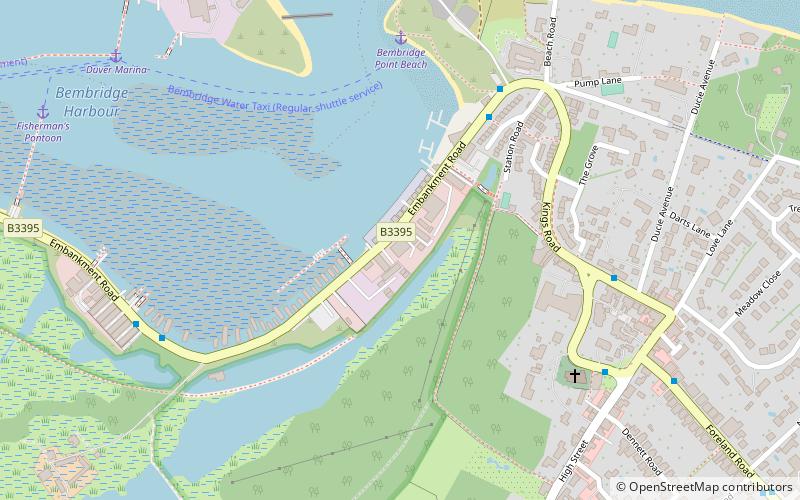
BMS Bembridge Motor Services (address: Embankment Road) is a place located in Bembridge (England kingdom) and belongs to the category of bridge.
It is situated at an altitude of 0 feet, and its geographical coordinates are 50°41'30"N latitude and 1°5'40"W longitude.
Among other places and attractions worth visiting in the area are: Holy Trinity Church (church, 6 min walk), Bembridge Harbour, Brading Marshes RSPB reserve (bridge, 8 min walk), Bembridge Windmill (historical place, 15 min walk).
Coordinates: 50°41'30"N, 1°5'40"W
Day trips
BMS Bembridge Motor Services – popular in the area (distance from the attraction)
Nearby attractions include: Bembridge Windmill, Nodes Point Battery, Holy Trinity Church, St Helens Fort.
Frequently Asked Questions (FAQ)
Which popular attractions are close to BMS Bembridge Motor Services?
Nearby attractions include Holy Trinity Church, Bembridge (6 min walk), Bembridge Harbour, Brading Marshes RSPB reserve (8 min walk), Bembridge Windmill, Bembridge (15 min walk), Nodes Point Battery, Isle of Wight (20 min walk).


