Nodes Point Battery, Isle of Wight
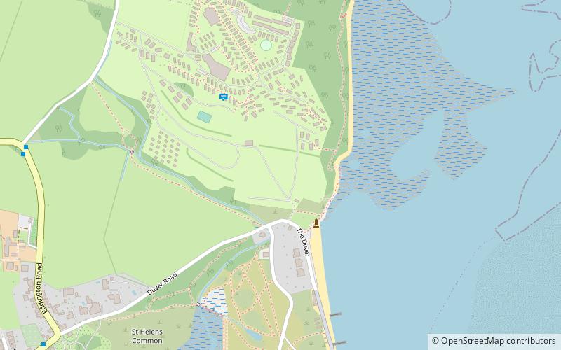
Map

Map

Facts and practical information
Nodes Point Battery is a battery located at Nodes Point on the Isle of Wight. It is one of the many Palmerston Forts built on the island to protect it in response to a perceived French invasion. Construction of the battery began on 16 August 1901 and was completed by 20 April 1904. ()
Built: 20 April 1904 (121 years ago)Coordinates: 50°42'9"N, 1°6'1"W
Address
Isle of Wight
ContactAdd
Social media
Add
Day trips
Nodes Point Battery – popular in the area (distance from the attraction)
Nearby attractions include: Holy Trinity Church, St Helens Fort, Priory Woods, St Helen's Church.
Frequently Asked Questions (FAQ)
Which popular attractions are close to Nodes Point Battery?
Nearby attractions include Priory Woods, Isle of Wight (7 min walk), Bembridge Harbour, Brading Marshes RSPB reserve (16 min walk), St Helen's Church, Isle of Wight (18 min walk), St Helens Fort, Brading Marshes RSPB reserve (19 min walk).
How to get to Nodes Point Battery by public transport?
The nearest stations to Nodes Point Battery:
Bus
Bus
- Nodes Point • Lines: 8 (9 min walk)
- Guildford Road • Lines: 8 (13 min walk)


