St Helens Fort, Brading Marshes RSPB reserve
Map

Map

Facts and practical information
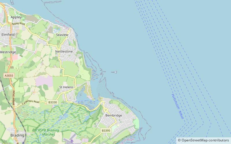
St Helens Fort is a sea fort in the Solent close to the Isle of Wight, one of the Palmerston Forts near Portsmouth. It was built as a result of the Royal Commission on the Defence of the United Kingdom of 1859, in order to protect the St Helens anchorage. ()
Built: 1867 (159 years ago)Coordinates: 50°42'18"N, 1°5'2"W
Address
Brading Marshes RSPB reserve
ContactAdd
Social media
Add
Day trips
St Helens Fort – popular in the area (distance from the attraction)
Nearby attractions include: Nodes Point Battery, Holy Trinity Church, Priory Woods, Seaview Chain Pier.
Frequently Asked Questions (FAQ)
Which popular attractions are close to St Helens Fort?
Nearby attractions include Nodes Point Battery, Isle of Wight (19 min walk), Priory Woods, Isle of Wight (21 min walk).


