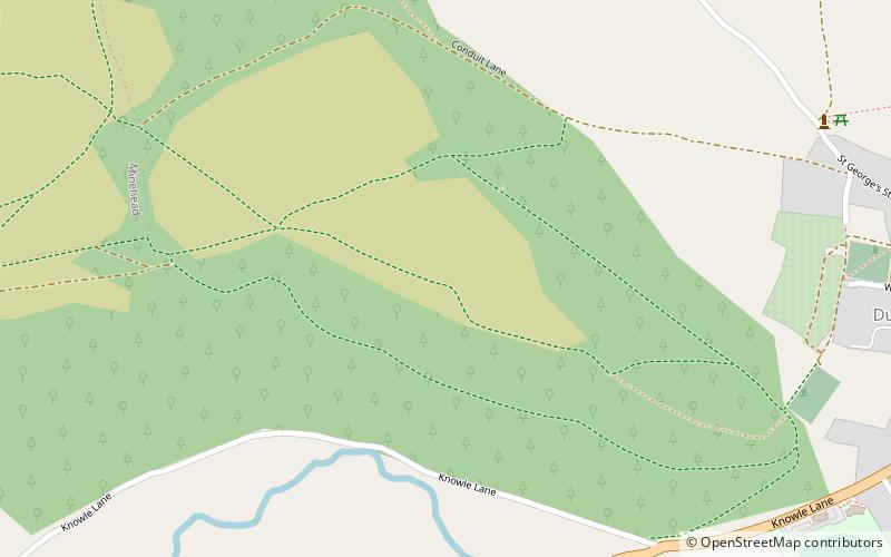
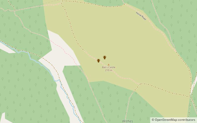
Grabbist Hillfort, Dunster
Map
Facts and practical information
Grabbist Hillfort is an Iron Age oval hillfort or defended enclosure, west of Dunster in Somerset, England. ()
Coordinates: 51°10'60"N, 3°27'23"W
Address
Dunster
ContactAdd
Social media
Add
Getting there by public transportation
Public transportation stops near this location
- Train
 Train
Train
- Calculate routeDunster 27 min walk
Day trips


Frequently Asked Questions (FAQ)
Which popular attractions are close to Grabbist Hillfort?
Nearby attractions include Dunster Butter Cross, Dunster (9 min walk), Dunster Priory, Dunster (11 min walk), Dunster Dovecote, Dunster (12 min walk), Priory Church of St George, Dunster (12 min walk).
How to get to Grabbist Hillfort by public transport?
The nearest stations to Grabbist Hillfort:
Train
Train
- Dunster (27 min walk)