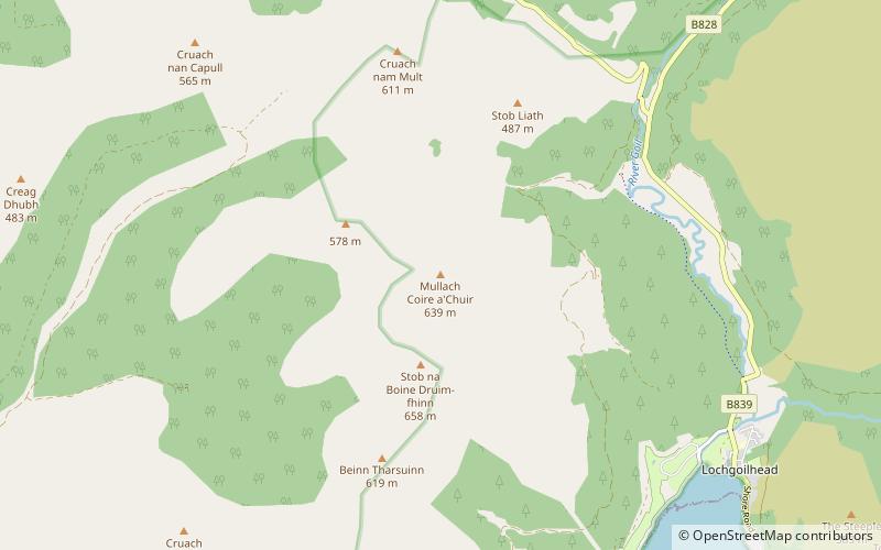
Mullach Coire a' Chuir, Loch Lomond and The Trossachs National Park

Map
Facts and practical information
Mullach Coire a' Chuir is a rugged mountain near Lochgoilhead in Argyll, Scotland and forms part of the well known Arrochar Alps range. It lies to the west of Glen Goil and is visible from Lochgoilhead. ()
Coordinates: 56°11'18"N, 4°56'55"W
Address
Loch Lomond and The Trossachs National Park
ContactAdd
Social media
Add
Day trips
Mullach Coire a' Chuir – popular in the area (distance from the attraction)
Nearby attractions include: Ben Donich, Dunderave Castle, Stob an Eas, Stob na Boine Druim-fhinn.


