Walthamstow Pumphouse Museum, London
Map
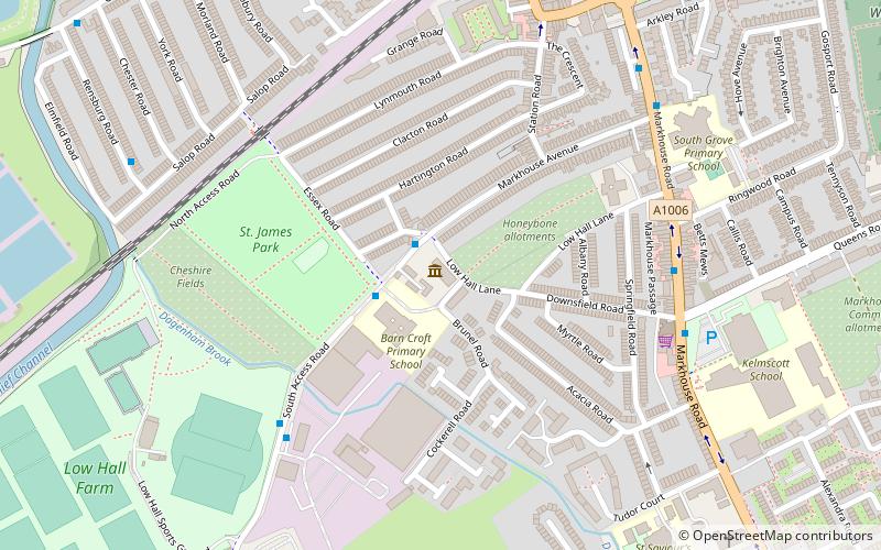
Map

Facts and practical information
The Walthamstow Pumphouse Museum is a museum based in Walthamstow, north-east London, it is contained in and around Low Hall Pumping Station, a Grade II listed building that was originally a sewage pumping station built in 1885. ()
Coordinates: 51°34'36"N, 0°2'4"W
Day trips
Walthamstow Pumphouse Museum – popular in the area (distance from the attraction)
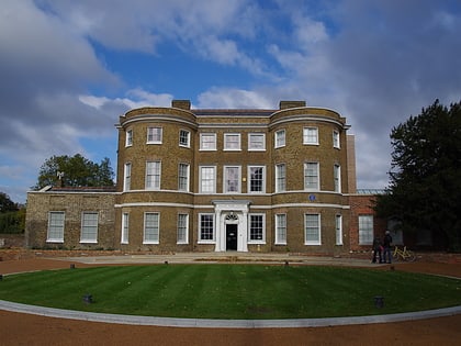
Nearby attractions include: Matchroom Stadium, Lee Valley Ice Centre, The Mall Walthamstow, William Morris Gallery.
Frequently Asked Questions (FAQ)
Which popular attractions are close to Walthamstow Pumphouse Museum?
Nearby attractions include Walthamstow Market, London (14 min walk), Emmanuel Parish Church, London (15 min walk), Walthamstow, London (20 min walk), Walthamstow Marshes, London (22 min walk).
How to get to Walthamstow Pumphouse Museum by public transport?
The nearest stations to Walthamstow Pumphouse Museum:
Bus
Train
Metro
Bus
- Barn Croft Primary School • Lines: W19 (1 min walk)
- Low Hall Manor Business Centre • Lines: W19 (5 min walk)
Train
- St James Street (9 min walk)
- Walthamstow Queen's Road (15 min walk)
Metro
- Walthamstow Central • Lines: Victoria (20 min walk)
- Blackhorse Road • Lines: Victoria (20 min walk)

 Tube
Tube

