Islington, London
Map
Gallery
Facts and practical information
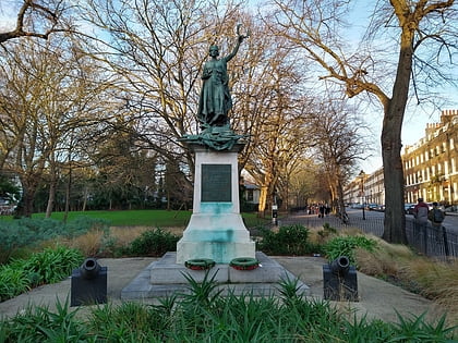
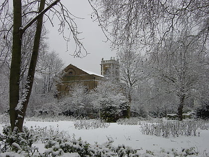
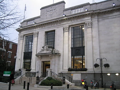
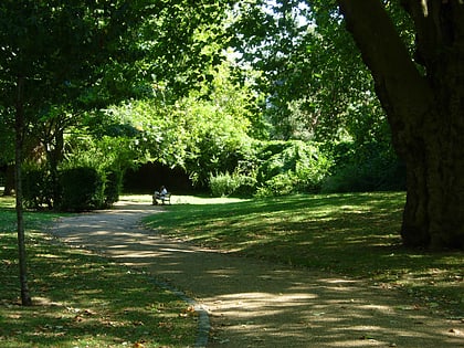
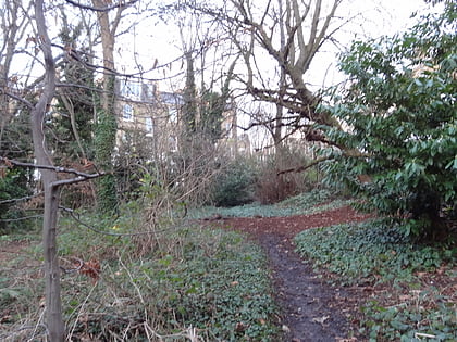
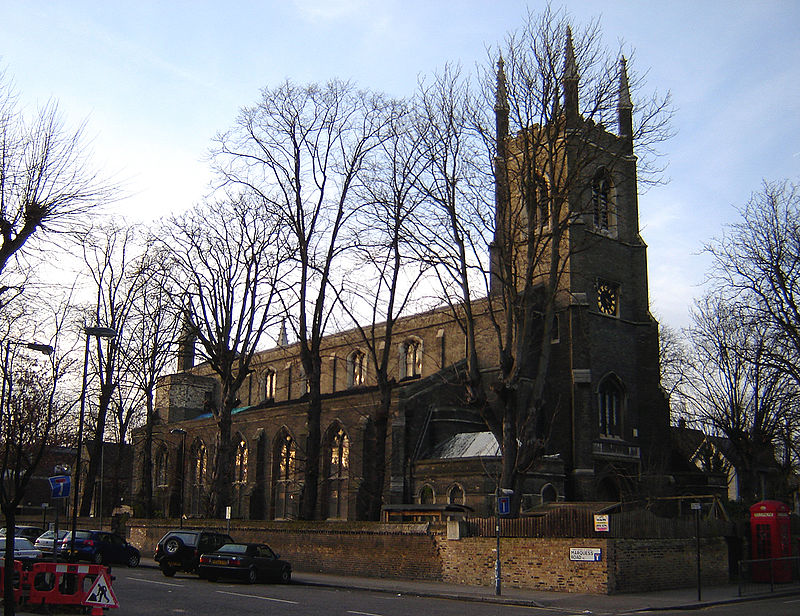
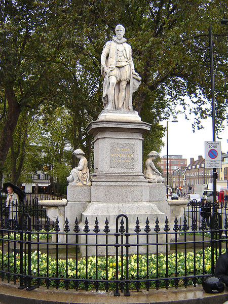
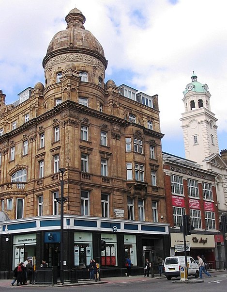
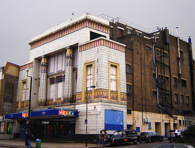
Islington is a district in Greater London, England, and part of the London Borough of Islington. It is a mainly residential district of Inner London, extending from Islington's High Street to Highbury Fields, encompassing the area around the busy High Street, Upper Street, Essex Road, and Southgate Road to the east. ()
Day trips
Islington – popular in the area (distance from the attraction)
Nearby attractions include: Upper Street, O2 Academy Islington, The Screen On The Green, Almeida Theatre.
Frequently Asked Questions (FAQ)
Which popular attractions are close to Islington?
Nearby attractions include Union Chapel, London (2 min walk), Estorick Collection, London (3 min walk), Canonbury Square, London (3 min walk), Hen and Chickens Theatre, London (4 min walk).
How to get to Islington by public transport?
The nearest stations to Islington:
Bus
Metro
Train
Bus
- Upper Street / Laycock Street • Lines: 19, 30, 4, 43, N19, N277, N41 (1 min walk)
- Canonbury Road / Highbury Corner • Lines: 271 (3 min walk)
Metro
- Highbury & Islington • Lines: Victoria (6 min walk)
- Caledonian Road • Lines: Piccadilly (19 min walk)
Train
- Essex Road (10 min walk)
- Canonbury (14 min walk)



 Tube
Tube


