Barnsbury Wood, London
Map
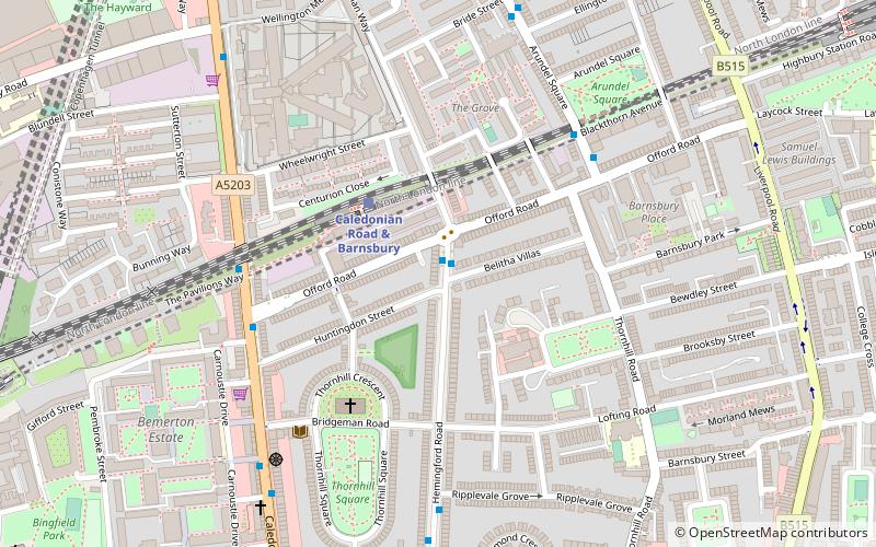
Map

Facts and practical information
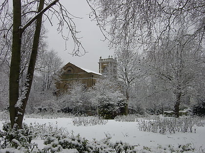
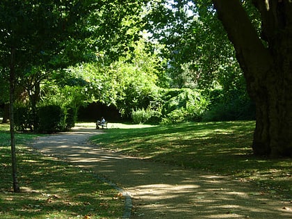
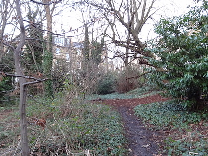
Barnsbury Wood is a Local Nature Reserve and Site of Borough Importance for Nature Conservation, Grade I, in Barnsbury in the London Borough of Islington. With an area of only 0.35 hectares, it is the smallest Local Nature Reserve in London It is owned and managed by Islington Council. ()
Elevation: 138 ft a.s.l.Coordinates: 51°32'34"N, 0°6'49"W
Address
171 Hemingford RoadIslington (Caledonian)London
ContactAdd
Social media
Add
Day trips
Barnsbury Wood – popular in the area (distance from the attraction)
Nearby attractions include: Egg London, Upper Street, London Canal Museum, The Screen On The Green.
Frequently Asked Questions (FAQ)
Which popular attractions are close to Barnsbury Wood?
Nearby attractions include Barnsbury, London (5 min walk), Lonsdale Square, London (8 min walk), St Mary Magdalene Gardens, London (11 min walk), Centre for Recent Drawing, London (12 min walk).
How to get to Barnsbury Wood by public transport?
The nearest stations to Barnsbury Wood:
Train
Bus
Metro
Train
- Caledonian Road & Barnsbury (3 min walk)
- Essex Road (20 min walk)
Bus
- Caledonian Road & Barnsbury Station • Lines: 17, 259, 274, 91, N91 (5 min walk)
- Story Street • Lines: 17, 259, 274, 91, N91 (6 min walk)
Metro
- Caledonian Road • Lines: Piccadilly (12 min walk)
- Highbury & Islington • Lines: Victoria (14 min walk)
 Tube
Tube


