Hopetown Carriage Works, Darlington
Map

Map

Facts and practical information
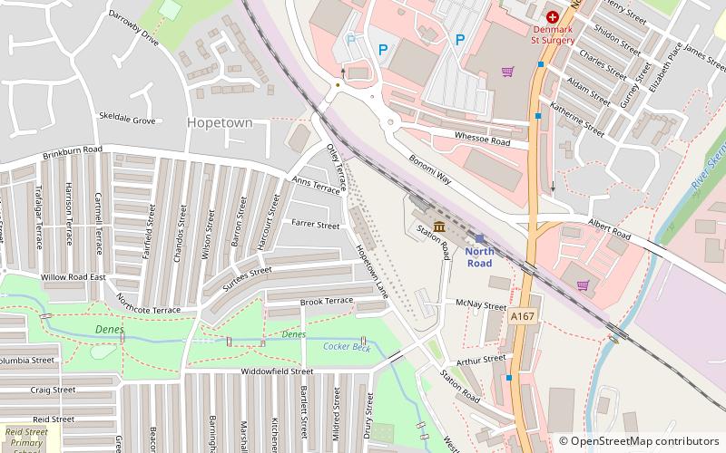
Hopetown Carriage Works, also known as the Stockton and Darlington Railway Carriage Works was a carriage works of the Stockton and Darlington Railway. built in 1853 in Hopetown, near Darlington, County Durham, England. ()
Coordinates: 54°32'9"N, 1°33'24"W
Address
Darlington
ContactAdd
Social media
Add
Day trips
Hopetown Carriage Works – popular in the area (distance from the attraction)
Nearby attractions include: Cornmill Shopping Centre, Head of Steam, Darlington Town Hall, Old Town Hall and Market Hall.
Frequently Asked Questions (FAQ)
Which popular attractions are close to Hopetown Carriage Works?
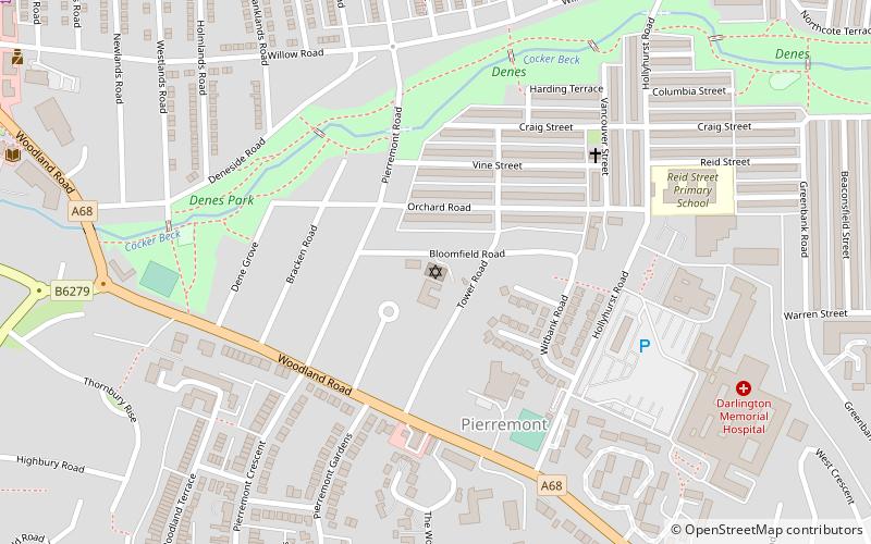
Nearby attractions include Head of Steam, Darlington (2 min walk), Skerne Bridge, Darlington (7 min walk), North Lodge Park, Darlington (11 min walk), Darlington Hebrew Congregation, Darlington (15 min walk).
How to get to Hopetown Carriage Works by public transport?
The nearest stations to Hopetown Carriage Works:
Train
Bus
Train
- North Road (3 min walk)
- Darlington (29 min walk)
Bus
- Tubwell Row • Lines: X66 (20 min walk)


