Hylton Viaduct, Sunderland
Map

Map

Facts and practical information
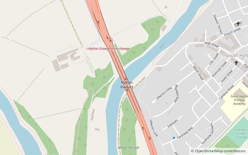
Hylton Viaduct is a road traffic and pedestrian bridge spanning the River Wear in North East England, linking North Hylton and South Hylton in Sunderland as the A19 road. The steel box girder bridge was opened in 1974 and is above a former chain ferry route which ceased in 1915. ()
Coordinates: 54°54'16"N, 1°27'30"W
Address
Sunderland
ContactAdd
Social media
Add
Day trips
Hylton Viaduct – popular in the area (distance from the attraction)
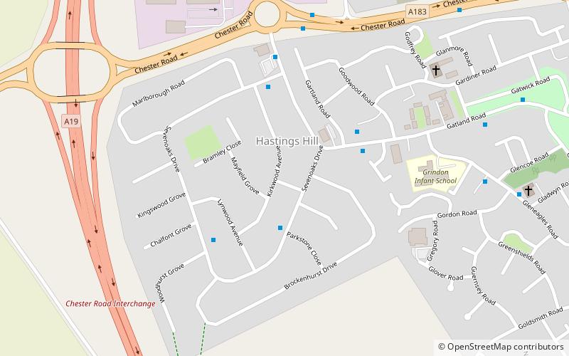
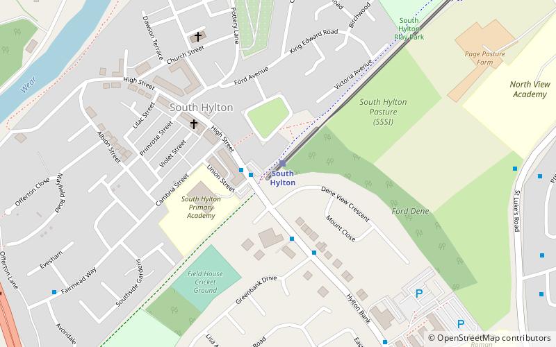
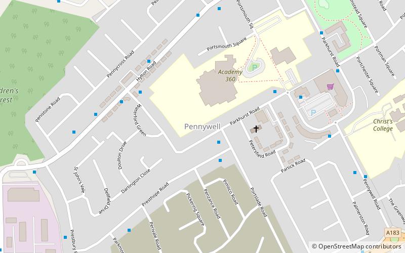
Nearby attractions include: WWT Washington, Hastings Hill, South Hylton, Pennywell.
Frequently Asked Questions (FAQ)
Which popular attractions are close to Hylton Viaduct?
Nearby attractions include South Hylton, Sunderland (11 min walk), Pennywell, Sunderland (20 min walk).
How to get to Hylton Viaduct by public transport?
The nearest stations to Hylton Viaduct:
Light rail
Bus
Light rail
- South Hylton • Lines: Green (11 min walk)
Bus
- Castletown • Lines: Sns (28 min walk)
- Colima Avenue • Lines: Sns (34 min walk)


