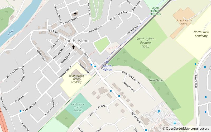
South Hylton, Sunderland
Map
Facts and practical information
South Hylton is a suburb of Sunderland, Tyne and Wear, England. Lying west of Sunderland city centre on the south bank of the River Wear, South Hylton has a population of 10,317. Once a small industrial village, South Hylton is now a dormitory village and is a single track terminus for the Tyne and Wear Metro. ()
Coordinates: 54°54'15"N, 1°26'52"W
Getting there by public transportation
Public transportation stops near this location
- Bus
- Light rail
 Bus
Bus
- Calculate routeSouth Hylton 1 min walk
- Calculate routeCastletown 24 min walk
- Calculate routeColima Avenue 28 min walk
Day trips


Frequently Asked Questions (FAQ)
Which popular attractions are close to South Hylton?
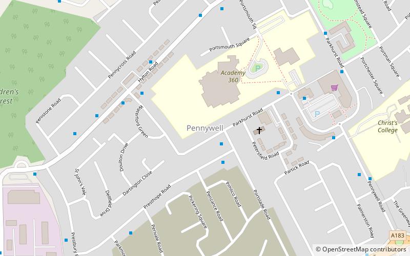
Nearby attractions include Hylton Viaduct, Sunderland (11 min walk), Pennywell, Sunderland (15 min walk).
How to get to South Hylton by public transport?
The nearest stations to South Hylton:
Light rail
Bus
Light rail
- South Hylton • Lines: Green (1 min walk)
Bus
- Castletown • Lines: Sns (24 min walk)
- Colima Avenue • Lines: Sns (28 min walk)