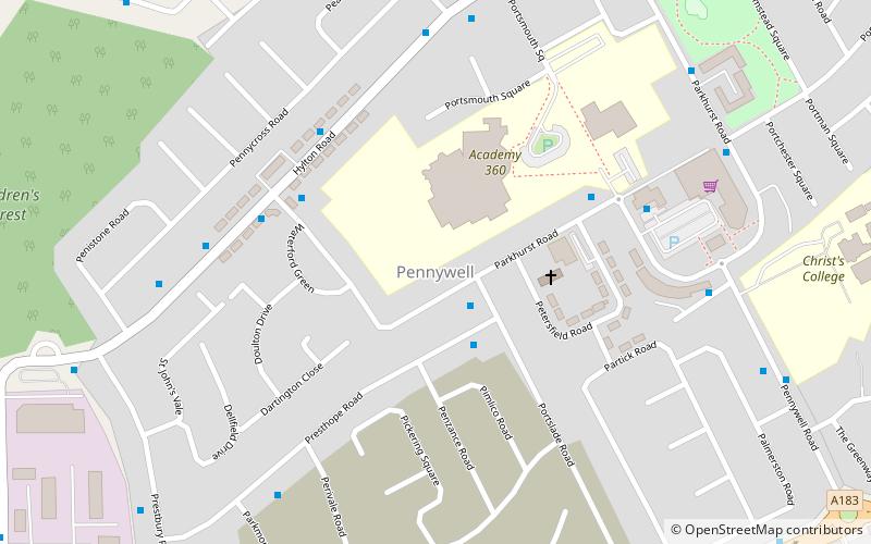
Pennywell, Sunderland
Map
Facts and practical information
Pennywell is one of the UK's largest post-war social housing schemes, and is situated in the central-west area of Sunderland, Tyne and Wear, North East England. Pennywell is the largest local authority housing estate in the City of Sunderland. The estate mostly built during the late 1940s and early 1950s to replace 19th century slums in the centre of Sunderland. The name Pennywell is of Celtic origin and is thought to mean "wellspring at the top of the hill". ()
Coordinates: 54°53'45"N, 1°26'43"W
Address
Petersfield RoadSunderland
ContactAdd
Social media
Add
Getting there by public transportation
Public transportation stops near this location
- Bus
- Light rail
 Bus
Bus
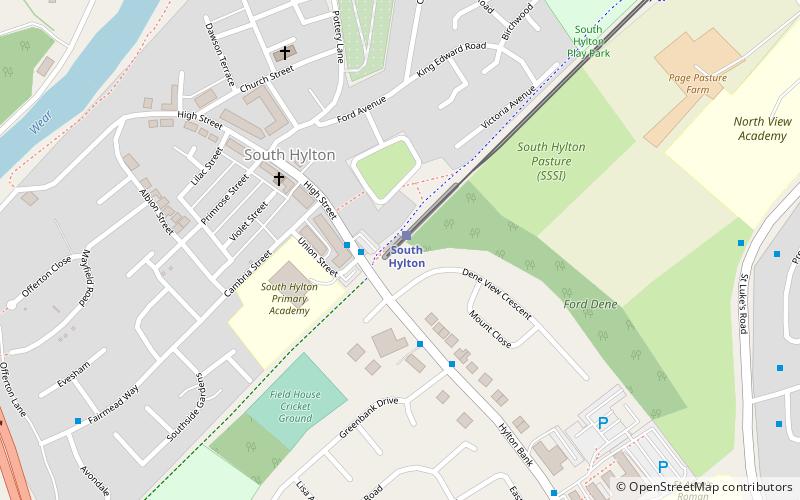
- Calculate routeSouth Hylton 15 min walk
- Calculate routePallion 41 min walk
- Calculate routePallion New Road-Woodbine Terrace-E/B 42 min walk
Day trips


Frequently Asked Questions (FAQ)
Which popular attractions are close to Pennywell?
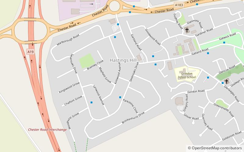
Nearby attractions include South Hylton, Sunderland (15 min walk), Hastings Hill, Sunderland (16 min walk), Hylton Viaduct, Sunderland (20 min walk), Bishopwearmouth Cemetery, Sunderland (24 min walk).
How to get to Pennywell by public transport?
The nearest stations to Pennywell:
Light rail
Bus
Light rail
- South Hylton • Lines: Green (15 min walk)
- Pallion • Lines: Green (41 min walk)
Bus
- Pallion New Road-Woodbine Terrace-E/B • Lines: Sns (42 min walk)