North Malvern, Malvern
Map

Gallery

Facts and practical information
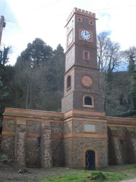
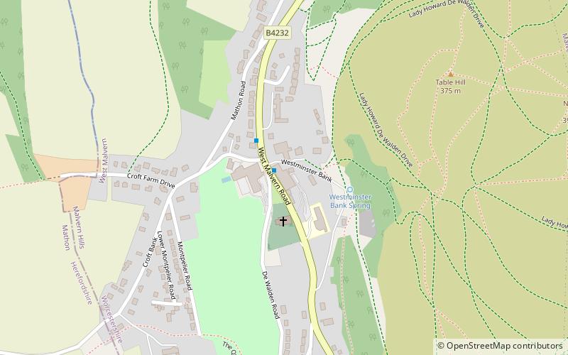
North Malvern is a suburb of Malvern, Worcestershire, England. It nestles on the northern slopes of the Malvern Hills. It is a contiguous urban extension of Link Top, and other neighbouring centres of population are Great Malvern, Malvern Link, West Malvern and the former village of Cowleigh. It is part of the civil parish of Malvern, administered by the Malvern Hills District, and is included in the informal region known as The Malverns. ()
Coordinates: 52°7'18"N, 2°20'11"W
Address
Malvern
ContactAdd
Social media
Add
Day trips
North Malvern – popular in the area (distance from the attraction)
Nearby attractions include: Worcestershire Beacon, Great Malvern Priory, Malvern Museum, Sugarloaf Hill.
Frequently Asked Questions (FAQ)
Which popular attractions are close to North Malvern?
Nearby attractions include Link Top, Malvern (8 min walk), End Hill, Malvern (8 min walk), Church of St Peter, Malvern (8 min walk), North Hill, Malvern (12 min walk).
How to get to North Malvern by public transport?
The nearest stations to North Malvern:
Bus
Train
Bus
- Newtown Road • Lines: 43, X43 (8 min walk)
- Link Top • Lines: 43, 44, S43, X43, X44 (8 min walk)
Train
- Malvern Link (20 min walk)
- Great Malvern (30 min walk)


