Langbaurgh Ridge
Map

Map

Facts and practical information
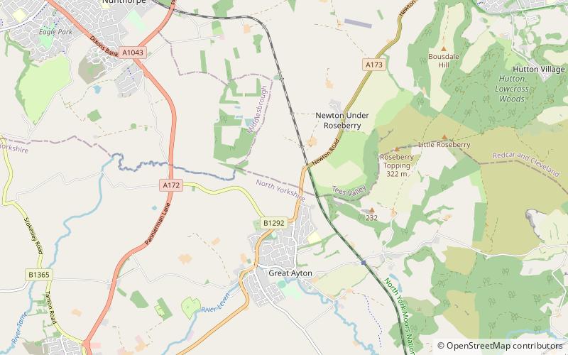
Langbaurgh Ridge is an 8.0 hectare geological Site of Special Scientific Interest near the hamlet of Langbaurgh in North Yorkshire, England, notified in 1986. The site crosses the boundary of the Redcar and Cleveland district and Hambleton District. ()
Established: 1986 (40 years ago)Coordinates: 54°30'5"N, 1°8'4"W
Day trips
Langbaurgh Ridge – popular in the area (distance from the attraction)
Nearby attractions include: Gisborough Priory, Roseberry Topping, Stewart Park, Easby Moor.


