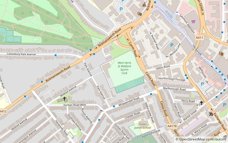
Cassio Road, Watford
Map
Facts and practical information
Cassio Road, also known as the West Herts Sport Ground, is a sports ground in Watford in England. It was the home ground of Watford F.C. between 1898 and 1922. ()
Coordinates: 51°39'23"N, 0°24'19"W
Address
Watford
ContactAdd
Social media
Add
Getting there by public transportation
Public transportation stops near this location
- Metro
- Bus
- Train
 Metro
Metro
- Calculate routeDurban Road 4 min walk
- Calculate routeCassio Road 4 min walk
- Calculate routeExchange Road 6 min walk
- Calculate routeTown Hall 7 min walk
- Calculate routeWatford 15 min walk
- Calculate routeWatford High Street 16 min walk
- Calculate routeWatford Junction 17 min walk
- Calculate routeCassiobury Park Station 23 min walk
- Calculate routeBushey 29 min walk
Day trips


Frequently Asked Questions (FAQ)
Which popular attractions are close to Cassio Road?
Nearby attractions include Watford Colosseum, Watford (6 min walk), Watford Town Hall, Watford (7 min walk), Watford Peace Memorial, Watford (7 min walk), Centre for Missional Leadership, Watford (8 min walk).
How to get to Cassio Road by public transport?
The nearest stations to Cassio Road:
Bus
Metro
Train
Bus
- Durban Road • Lines: R2 (4 min walk)
- Cassio Road • Lines: R2 (4 min walk)
Metro
- Watford • Lines: Metropolitan (15 min walk)
Train
- Watford High Street (16 min walk)
- Watford Junction (17 min walk)