Crofton Roman Villa, London
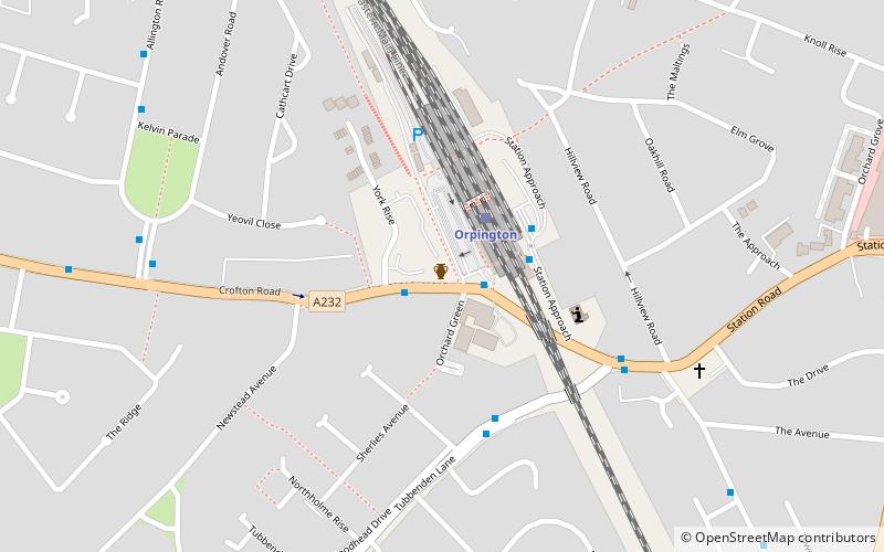
Map
Map

Facts and practical information
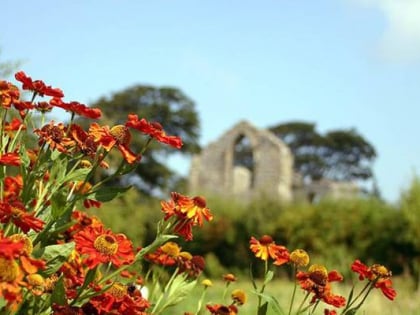
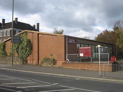
Crofton Roman Villa in Crofton, Orpington, in the London Borough of Bromley, is a Roman villa which was inhabited between approximately 140 and 400 AD. It was the centre of a farming estate of about 500 acres, with farm buildings nearby, surrounded by fields, meadows and woods. The house was altered several times during its 260 years of occupation, and at its largest it probably had at least 20 rooms. ()
Coordinates: 51°22'22"N, 0°5'16"E
Day trips
Crofton Roman Villa – popular in the area (distance from the attraction)
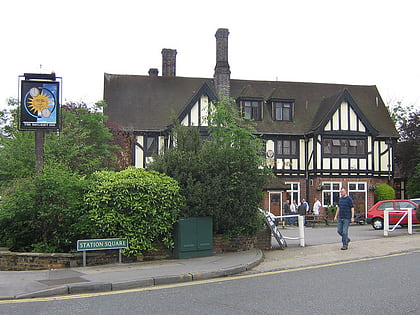
Nearby attractions include: Orpington, Priory Garden Services, The Daylight Inn, Petts Wood.
Frequently Asked Questions (FAQ)
How to get to Crofton Roman Villa by public transport?
The nearest stations to Crofton Roman Villa:
Bus
Train
Bus
- Orpington Station • Lines: N199, R8 (1 min walk)
- Hail & Ride Telscombe Close • Lines: R4 (4 min walk)
Train
- Orpington (2 min walk)
- Petts Wood (32 min walk)
 Tube
Tube