Petts Wood
Map
Gallery
Facts and practical information
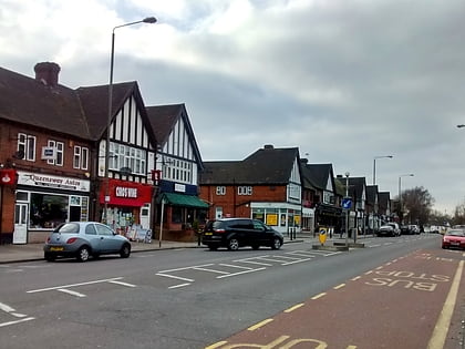
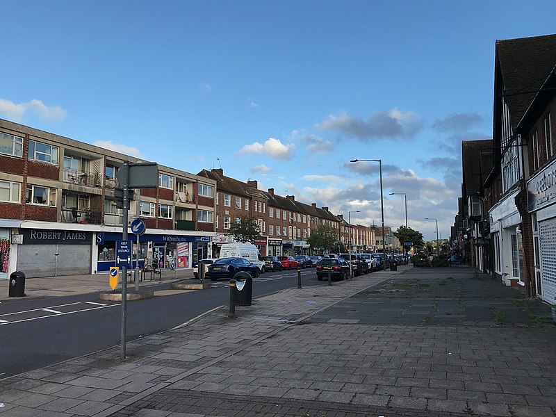
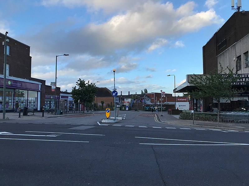
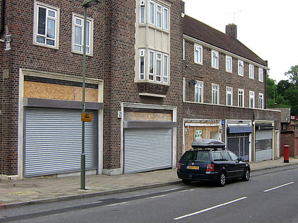
Petts Wood is a town in south-east London, England, previously located in the historic county of Kent. It lies south of Chislehurst, west of St Paul's Cray and Poverest, north of Orpington and Crofton, and east of Southborough and Bromley Common. The area forms part of the London Borough of Bromley local authority district in the ceremonial county of Greater London. ()
Coordinates: 51°23'19"N, 0°4'34"E
Location
England
ContactAdd
Social media
Add
Day trips
Petts Wood – popular in the area (distance from the attraction)
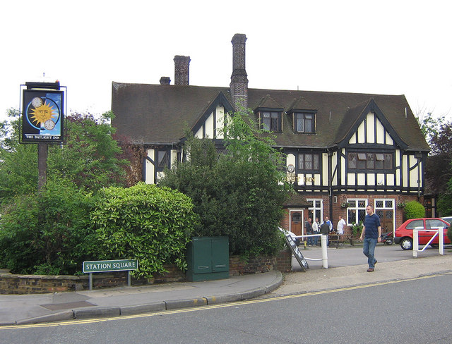
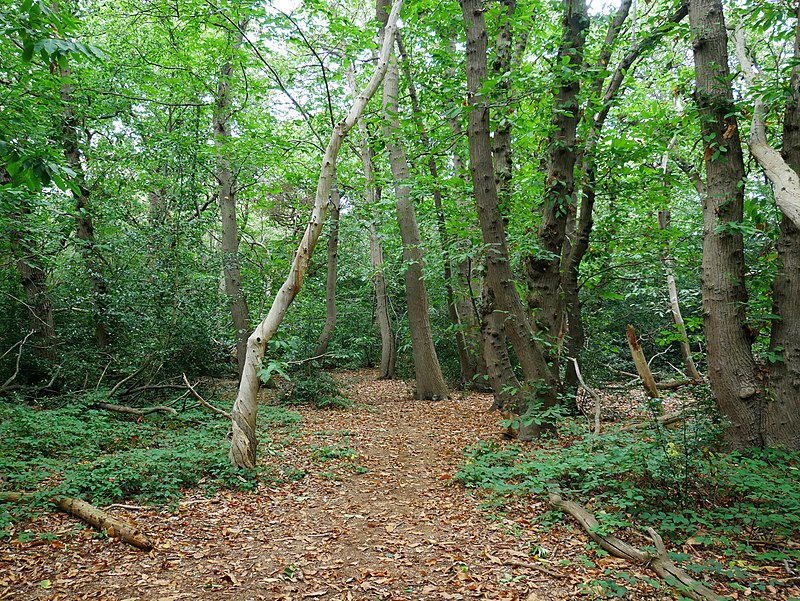
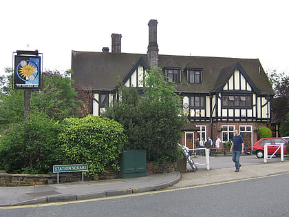
Nearby attractions include: Orpington, Crofton Roman Villa, The Daylight Inn, Crofton Wood.
