Aubrey holes, Stonehenge
Map

Map

Facts and practical information
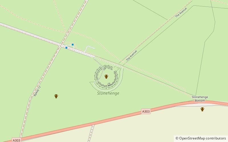
The Aubrey holes are a ring of fifty-six chalk pits at Stonehenge, named after the seventeenth-century antiquarian John Aubrey. They date to the earliest phases of Stonehenge in the late fourth and early third millennium BC. Despite decades of argument and analysis, their purpose is still unknown, although an astronomical role has often been suggested. ()
Coordinates: 51°10'45"N, 1°49'32"W
Address
Stonehenge
ContactAdd
Social media
Add
Day trips
Aubrey holes – popular in the area (distance from the attraction)
Nearby attractions include: Stonehenge Cursus, Bush Barrow, Normanton Down Barrows, Stonehenge Landscape.
Frequently Asked Questions (FAQ)
Which popular attractions are close to Aubrey holes?
Nearby attractions include Archaeoastronomy and Stonehenge, Stonehenge (1 min walk), Stonehenge, Amesbury (2 min walk), Stonehenge Landscape, Stonehenge (3 min walk), North Wessex Downs, Stonehenge (13 min walk).


