Chesser, Edinburgh
Map
Facts and practical information
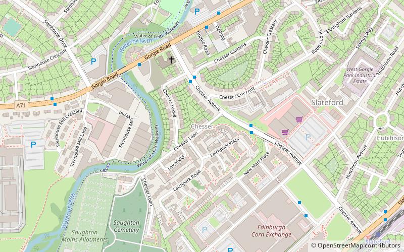
Chesser is a mainly residential suburb of Edinburgh, Scotland, east of the Water of Leith. It, with Longstone, is to the south-west, Allan Park and Craiglockhart to the south, Slateford, Hutchison and Moat to the east, and Gorgie Road to the north. ()
Coordinates: 55°55'45"N, 3°15'4"W
Address
ChesserEdinburgh
ContactAdd
Social media
Add
Day trips
Chesser – popular in the area (distance from the attraction)
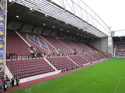
Nearby attractions include: Murrayfield Stadium, Tynecastle Park, Murrayfield Ice Rink, Edinburgh Zoo.
Frequently Asked Questions (FAQ)
Which popular attractions are close to Chesser?
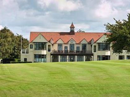
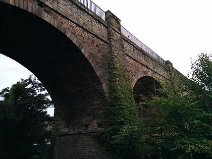
Nearby attractions include Edinburgh Corn Exchange, Edinburgh (6 min walk), Slateford Aqueduct, Edinburgh (11 min walk), Slateford, Edinburgh (12 min walk), Saughton, Edinburgh (15 min walk).
How to get to Chesser by public transport?
The nearest stations to Chesser:
Bus
Train
Tram
Bus
- Chesser Avenue • Lines: 3 (5 min walk)
- Stenhouse Mill Lane • Lines: 3 (7 min walk)
Train
- Slateford (9 min walk)
- Kingsknowe (23 min walk)
Tram
- Balgreen • Lines: Edinburgh Trams Eastbound, Edinburgh Trams Westbound (16 min walk)
- Saughton • Lines: Edinburgh Trams Eastbound, Edinburgh Trams Westbound (25 min walk)

