St Saviour's, Guildford


Facts and practical information
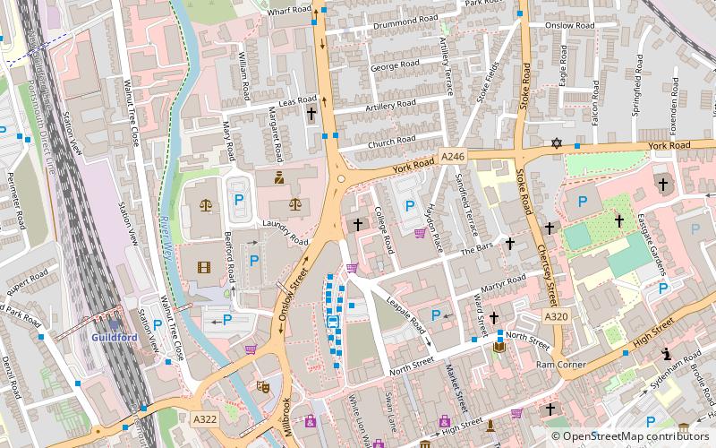
St Saviour's (address: Woodbridge Rd) is a place located in Guildford (England kingdom) and belongs to the category of church.
It is situated at an altitude of 125 feet, and its geographical coordinates are 51°14'19"N latitude and 0°34'31"W longitude.
Planning a visit to this place, one can easily and conveniently get there by public transportation. St Saviour's is a short distance from the following public transport stations: Police Station (bus, 3 min walk), Guildford (train, 7 min walk).
Among other places and attractions worth visiting in the area are: Bethel Chapel Guildford (church, 5 min walk), Academy of Contemporary Music (universities and schools, 5 min walk), Electric Theatre (theater, 5 min walk).
Woodbridge RdFriary and St. NicolasGuildford GU1 4QD
St Saviour's – popular in the area (distance from the attraction)
Nearby attractions include: Guildford Lido, The Undercroft, Guildford Castle, Guildford Cathedral.
Frequently Asked Questions (FAQ)
When is St Saviour's open?
- Monday 9 am - 5 pm
- Tuesday 9 am - 5 pm
- Wednesday 9 am - 5 pm
- Thursday 9 am - 5 pm
- Friday 9 am - 5 pm
- Saturday closed
- Sunday closed
Which popular attractions are close to St Saviour's?
How to get to St Saviour's by public transport?
Bus
- Police Station • Lines: 2, 28, 4, 5, 91, Kite, N1 (3 min walk)
- Friary Bus Station • Lines: 1, 100, 17, 18, 2, 200, 23, 24, 28, 3, 300, 33, 34, 35, 4, 42, 462, 463, 479, 5, 520, 53, 6, 63, 63X, 715, 8, 91, Kite, N1 (3 min walk)
Train
- Guildford (7 min walk)
- London Road (12 min walk)


