Kelvin Aqueduct, Glasgow
Map
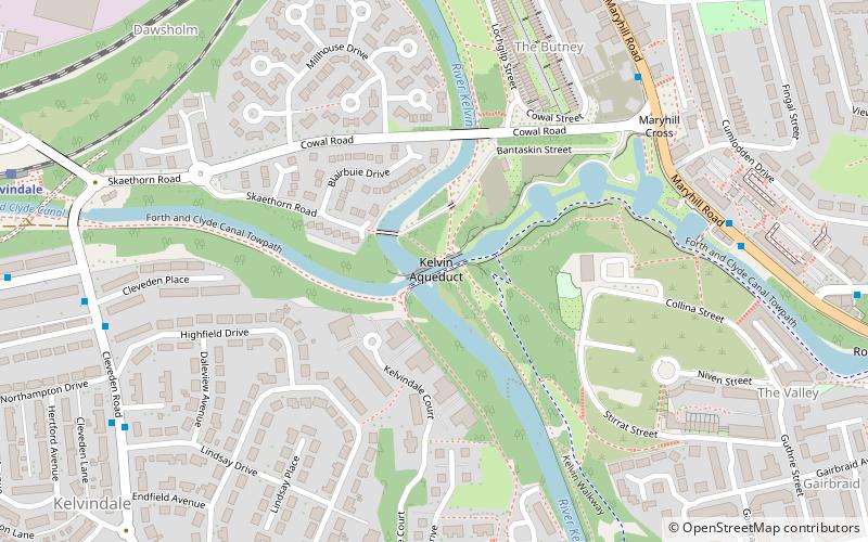
Map

Facts and practical information
The Kelvin Aqueduct is a navigable aqueduct in Glasgow, Scotland, which carries the Forth and Clyde Canal over the River Kelvin. ()
Address
WyndfordGlasgow
ContactAdd
Social media
Add
Day trips
Kelvin Aqueduct – popular in the area (distance from the attraction)
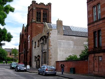
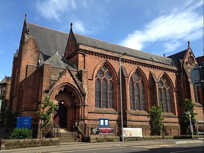
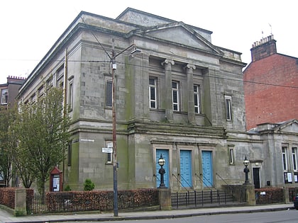
Nearby attractions include: Glasgow Botanic Gardens, Ruchill Church Hall, Kelvinside Hillhead Parish Church, Western Baths.
Frequently Asked Questions (FAQ)
Which popular attractions are close to Kelvin Aqueduct?
Nearby attractions include Kelvindale, Glasgow (9 min walk), Maryhill Burgh Halls, Glasgow (12 min walk), St John's Renfield Church, Glasgow (13 min walk), Wyndford, Glasgow (14 min walk).
How to get to Kelvin Aqueduct by public transport?
The nearest stations to Kelvin Aqueduct:
Bus
Train
Bus
- Maryhill Road / Fingal Street • Lines: 15, 17, 60, 60A, 61, 8, C8, N60 (6 min walk)
- Kelvindale, Cleveden Road/ Cleveden Place • Lines: 94 (7 min walk)
Train
- Kelvindale (9 min walk)
- Maryhill (9 min walk)


