Ian Curtis House, Macclesfield
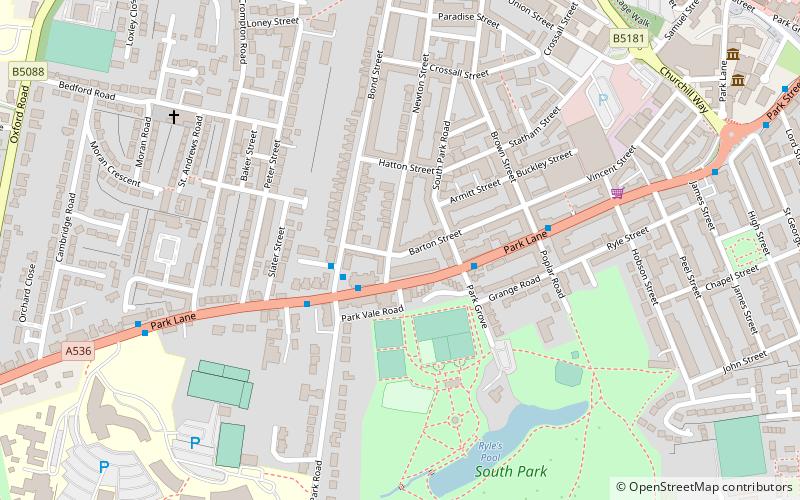
Map
Facts and practical information
Ian Kevin Curtis was an English singer-songwriter and musician. He was the lead singer and lyricist of the post-punk band Joy Division and recorded two albums with the group: Unknown Pleasures and Closer. Curtis was known for his bass-baritone voice, dance style and songwriting typically filled with imagery of desolation, emptiness, and alienation. ()
Getting there by public transportation
Public transportation stops near this location
- Bus
- Train
 Bus
Bus
- Calculate routeMacclesfield, Park Street / opposite The Towers 9 min walk
- Calculate routeMacclesfield 15 min walk
Day trips


Frequently Asked Questions (FAQ)
Which popular attractions are close to Ian Curtis House?
Nearby attractions include Macclesfield College, Macclesfield (8 min walk), St George's Church, Macclesfield (9 min walk), Macclesfield Sunday School, Macclesfield (9 min walk), Christ Church, Macclesfield (10 min walk).
How to get to Ian Curtis House by public transport?
The nearest stations to Ian Curtis House:
Bus
Train
Bus
- Macclesfield, Park Street / opposite The Towers • Lines: 391, 392 (9 min walk)
Train
- Macclesfield (15 min walk)