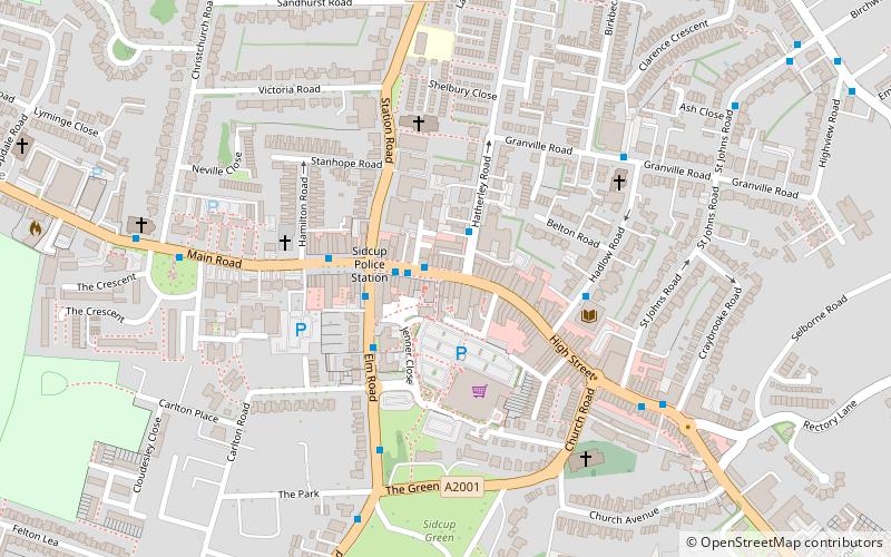
Sidcup, London
Map

Map

Facts and practical information
Sidcup is an area of south-east London, England, primarily in the London Borough of Bexley. It is 11.3 miles south-east of Charing Cross, bordering the London Boroughs of Bromley and Greenwich, and is in the historic county of Kent. ()
Address
Bexley (Sidcup)London
ContactAdd
Social media
Add
Day trips
Sidcup – popular in the area (distance from the attraction)
Nearby attractions include: Lamorbey Park, Foots Cray Meadows, Scadbury Park, Chislehurst.
Frequently Asked Questions (FAQ)
Which popular attractions are close to Sidcup?
Nearby attractions include Lamorbey, Dartford (16 min walk), Lamorbey Park, London (22 min walk).
How to get to Sidcup by public transport?
The nearest stations to Sidcup:
Bus
Train
Bus
- Hail & Ride Hatherley Road • Lines: B14 (2 min walk)
- Carlton Road • Lines: 160, 229, 269, 286, 625, B14, R11 (3 min walk)
Train
- Sidcup (14 min walk)
- Albany Park (31 min walk)

 Tube
Tube


