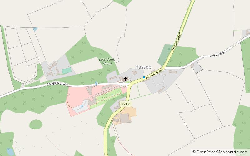
Church of All Saints, Peak District

Gallery (1)
Map
Map
Facts and practical information
The Church of All Saints, Hassop, Derbyshire is a Roman Catholic parish church. Built in 1816–17, the architect was Joseph Ireland. It is a Grade I listed building. ()
Completed: 1817 (209 years ago)Architectural style: NeoclassicismCoordinates: 53°14'51"N, 1°39'60"W
Address
Peak District
ContactAdd
Social media
Add
Getting there by public transportation
Public transportation stops near this location
- Bus
 Bus
Bus
- Calculate routeHassop 29 min walk
- Calculate routePilsley 36 min walk
Day trips


Frequently Asked Questions (FAQ)
How to get to Church of All Saints by public transport?
The nearest stations to Church of All Saints:
Bus
Bus
- Hassop • Lines: 218 (29 min walk)
- Pilsley • Lines: 218 (36 min walk)