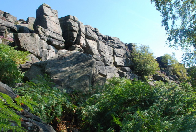
Birchen Edge, Peak District

Gallery (3)
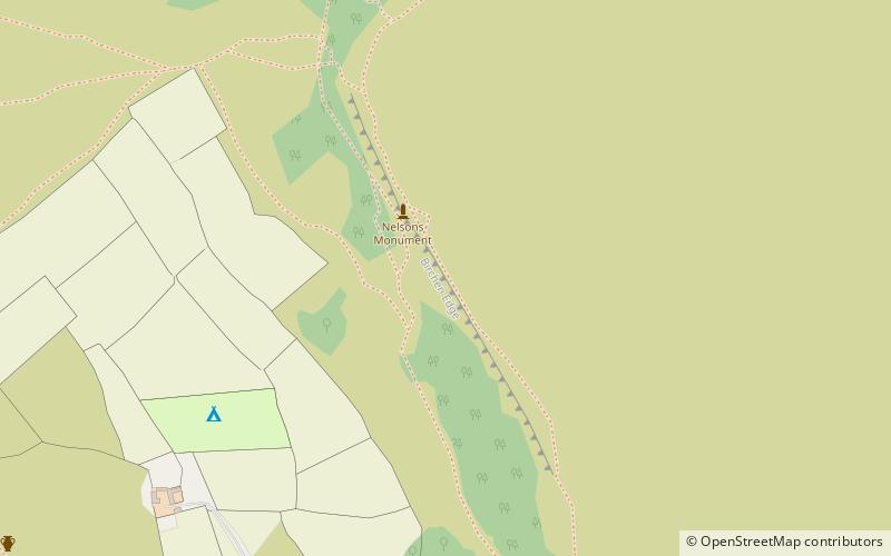
Map
Map
Gallery
Facts and practical information
Birchen Edge is a gritstone rock face in the Peak District, England, popular with walkers and novice climbers as most of the climbing routes are in the lower grade. ()
Coordinates: 53°15'7"N, 1°34'58"W
Getting there by public transportation
Public transportation stops near this location
- Bus
 Bus
Bus
- Calculate routeRobin Hood 12 min walk
- Calculate routeBaslow 20 min walk
Day trips


Frequently Asked Questions (FAQ)
How to get to Birchen Edge by public transport?
The nearest stations to Birchen Edge:
Bus
Bus
- Robin Hood • Lines: X71 (12 min walk)
- Baslow • Lines: 218 (20 min walk)