Kinning Park, Glasgow
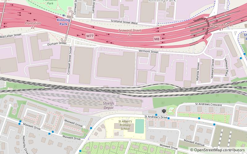
Map
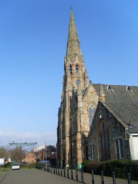
Gallery
Facts and practical information
Kinning Park is a southern suburb of Glasgow, Scotland. It was formerly a separate police burgh between 1871 and 1905 before being absorbed by the city. In 1897, it had a population of 14,326. ()
Coordinates: 55°50'53"N, 4°17'2"W
Address
South Side (Kinning Park)Glasgow
ContactAdd
Social media
Add
Day trips
Kinning Park – popular in the area (distance from the attraction)
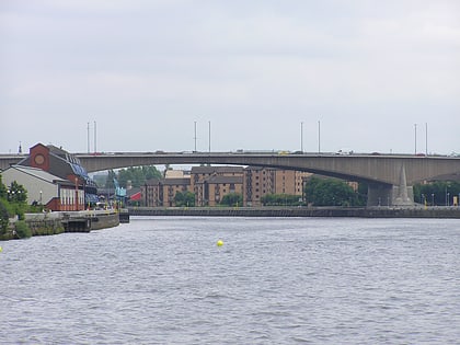
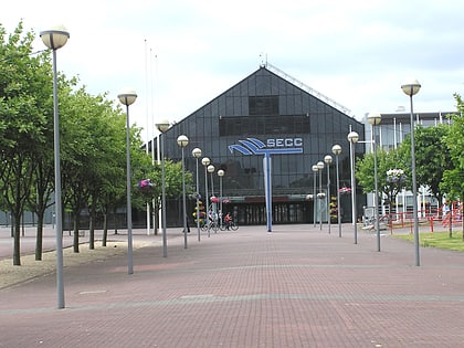
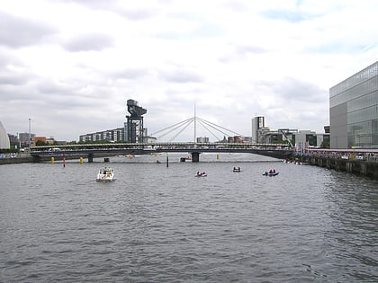
Nearby attractions include: Glasgow Science Centre, SEC Armadillo, OVO Hydro, Clyde Arc.
Frequently Asked Questions (FAQ)
Which popular attractions are close to Kinning Park?
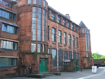
Nearby attractions include Pollokshields, Glasgow (11 min walk), Scotland Street School Museum, Glasgow (11 min walk), Pollokshields Parish Church, Glasgow (12 min walk), Walmer Crescent, Glasgow (14 min walk).
How to get to Kinning Park by public transport?
The nearest stations to Kinning Park:
Metro
Train
Bus
Metro
- Kinning Park • Lines: Subway (6 min walk)
- Shields Road • Lines: Subway (10 min walk)
Train
- Dumbreck (18 min walk)
- Maxwell Park (19 min walk)
Bus
- Finnieston Quay / City Inn • Lines: c1 (18 min walk)
- Pollokshaws Road / Albert Drive • Lines: 3, 38 (23 min walk)


