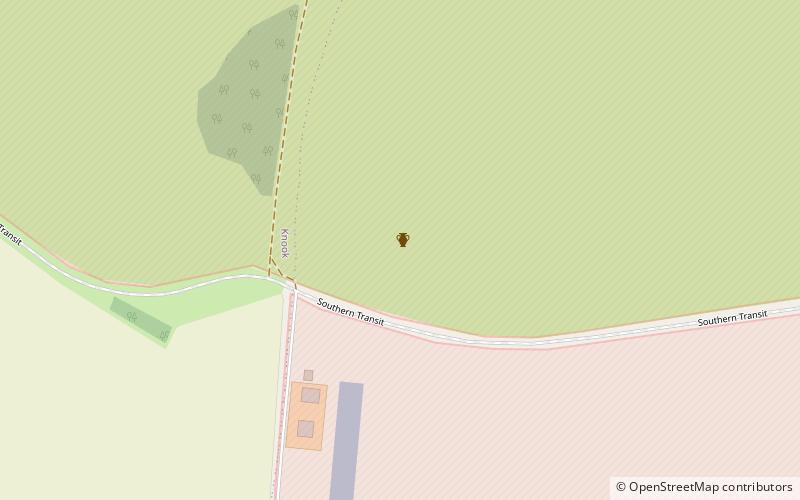
Knook Castle
Map

Map

Facts and practical information
Knook Castle is the site of an Iron Age univallate hillfort on Knook Down, near the village of Knook in Wiltshire, England, but within the civil parish of Upton Lovell. It has also been interpreted as a defensive cattle enclosure associated with nearby Romano-British settlements. It is roughly rectangular in plan with a single entrance on the south/southeast side, but with a later break in the wall on the western side. ()
Coordinates: 51°11'43"N, 2°3'31"W
Location
England
ContactAdd
Social media
Add
Day trips
Knook Castle – popular in the area (distance from the attraction)
Nearby attractions include: Westbury White Horse, Warminster Town Park, St Giles' Church, Warminster Athenaeum.


