Lady Bay Bridge, Nottingham
Map
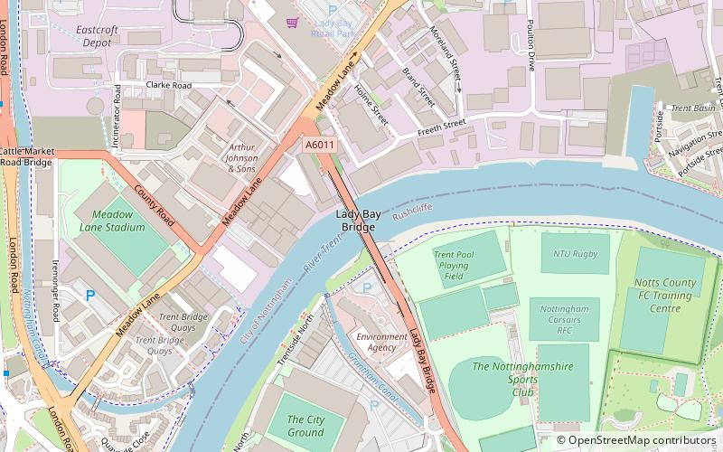
Map

Facts and practical information
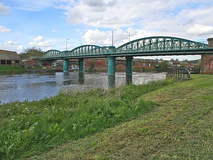
Lady Bay Bridge is a road bridge of two lanes that spans the River Trent in West Bridgford, Nottingham. It is the bridge following from Trent Bridge and connects the main thoroughfare of Radcliffe Road with Meadow Lane. ()
Opened: 1878 (148 years ago)Coordinates: 52°56'34"N, 1°7'54"W
Day trips
Lady Bay Bridge – popular in the area (distance from the attraction)
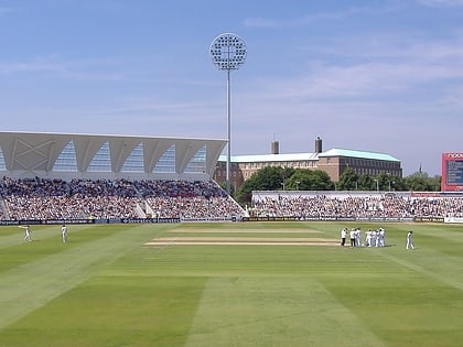
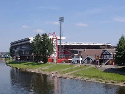
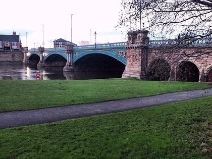
Nearby attractions include: Trent Bridge, City Ground, Meadow Lane Stadium, Green's Mill.
Frequently Asked Questions (FAQ)
Which popular attractions are close to Lady Bay Bridge?
Nearby attractions include Meadow Lane Stadium, Nottingham (7 min walk), Trent Bridge, Nottingham (10 min walk), St Stephen's Church, Nottingham (12 min walk), St Saviour's in the Meadows, Nottingham (12 min walk).
How to get to Lady Bay Bridge by public transport?
The nearest stations to Lady Bay Bridge:
Bus
Train
Tram
Bus
- Poulton Drive • Lines: 50, N100 (8 min walk)
- Fox Road • Lines: 11, 11C, 90, L23 (9 min walk)
Train
- Nottingham (17 min walk)
Tram
- Nottingham Station • Lines: 1, 2 (17 min walk)
- Queens Walk • Lines: 2 (20 min walk)
