Trent Valley Way, Nottingham
Facts and practical information
Trent Valley Way is a scenic hiking trail that meanders through the picturesque landscapes of Nottinghamshire, United Kingdom. This tranquil pathway offers an opportunity to experience the natural beauty and rich history of the Trent Valley. Perfect for both seasoned hikers and casual walkers, the trail presents a variety of terrains and captivating vistas.
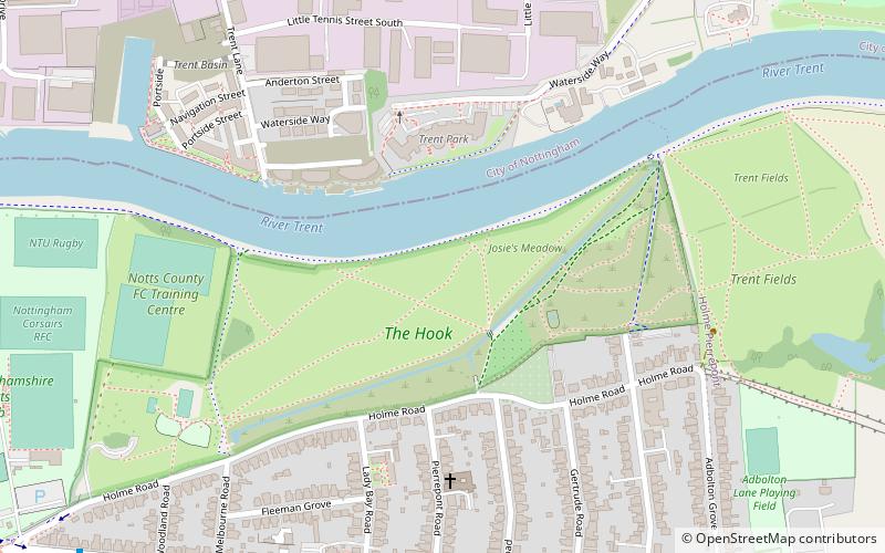
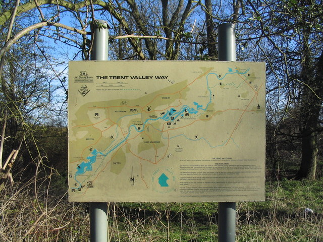
Stretching along the banks of the River Trent, the Trent Valley Way winds its way through lush countryside, charming villages, and past historic landmarks. The trail is well-marked and maintained, ensuring a pleasant journey for all who traverse its route. The diverse habitat along the way supports an abundance of wildlife, making it a haven for birdwatchers and nature enthusiasts.
As visitors embark on their trek, they can revel in the serene atmosphere and take in the sights of ancient woodlands, serene water meadows, and rolling farmlands. The path also leads hikers to significant cultural sites, including old mills, churches, and remnants of the area's industrial heritage.
The Trent Valley Way is accessible throughout the year, offering a different experience with each season. In spring, the trail is adorned with wildflowers, while autumn brings a cascade of golden hues from the changing leaves. The route is suitable for day trips or longer excursions, with nearby accommodations catering to those wishing to extend their stay in the area.
Nottingham
Trent Valley Way – popular in the area (distance from the attraction)
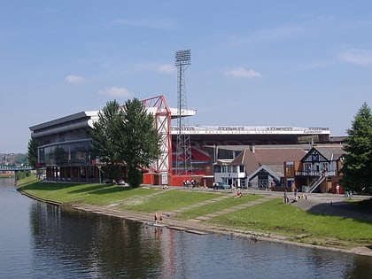
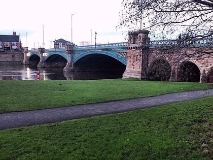
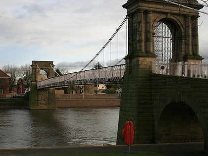
Nearby attractions include: Trent Bridge, City Ground, Nottingham Greyhound Stadium, Meadow Lane Stadium.
Frequently Asked Questions (FAQ)
Which popular attractions are close to Trent Valley Way?
How to get to Trent Valley Way by public transport?
Bus
- Primary School • Lines: 11, 11C (7 min walk)
- Pierrepont Road • Lines: L22 (7 min walk)
Train
- Nottingham (30 min walk)
Tram
- Nottingham Station • Lines: 1, 2 (30 min walk)
- Lace Market • Lines: 1, 2 (34 min walk)

