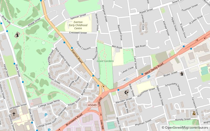
Grant Gardens, Liverpool
Map

Map

Facts and practical information
Grant Gardens previously Liverpool Necropolis, is a park and former cemetery in Liverpool, United Kingdom. It is named after Alderman J. R. Grant, J.P, chairman of the Corporation Parks and Gardens Committee. ()
Created: 22 April 1914Elevation: 220 ft a.s.l.Coordinates: 53°24'56"N, 2°57'44"W
Address
EvertonLiverpool
ContactAdd
Social media
Add
Day trips
Grant Gardens – popular in the area (distance from the attraction)
Nearby attractions include: Walker Art Gallery, Victoria Gallery & Museum, Steble Fountain, Liverpool Empire Theatre.
Frequently Asked Questions (FAQ)
Which popular attractions are close to Grant Gardens?
Nearby attractions include Everton water tower, Liverpool (4 min walk), Liverpool Muslim Institute, Liverpool (4 min walk), Everton Lock-Up, Liverpool (9 min walk), St Francis Xavier Church, Liverpool (9 min walk).
How to get to Grant Gardens by public transport?
The nearest stations to Grant Gardens:
Bus
Train
Bus
- West Derby Road/Brougham Terrace • Lines: 18 (3 min walk)
- Brunswick Road/Shaw Street B • Lines: 18 (8 min walk)
Train
- Liverpool Lime Street (22 min walk)
- Liverpool Central (27 min walk)


